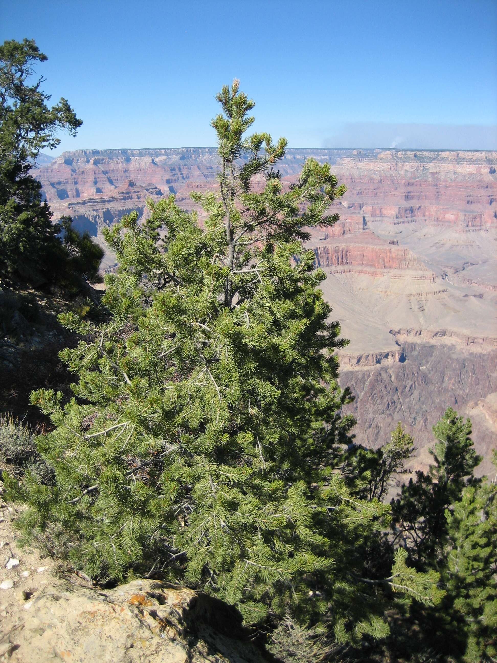
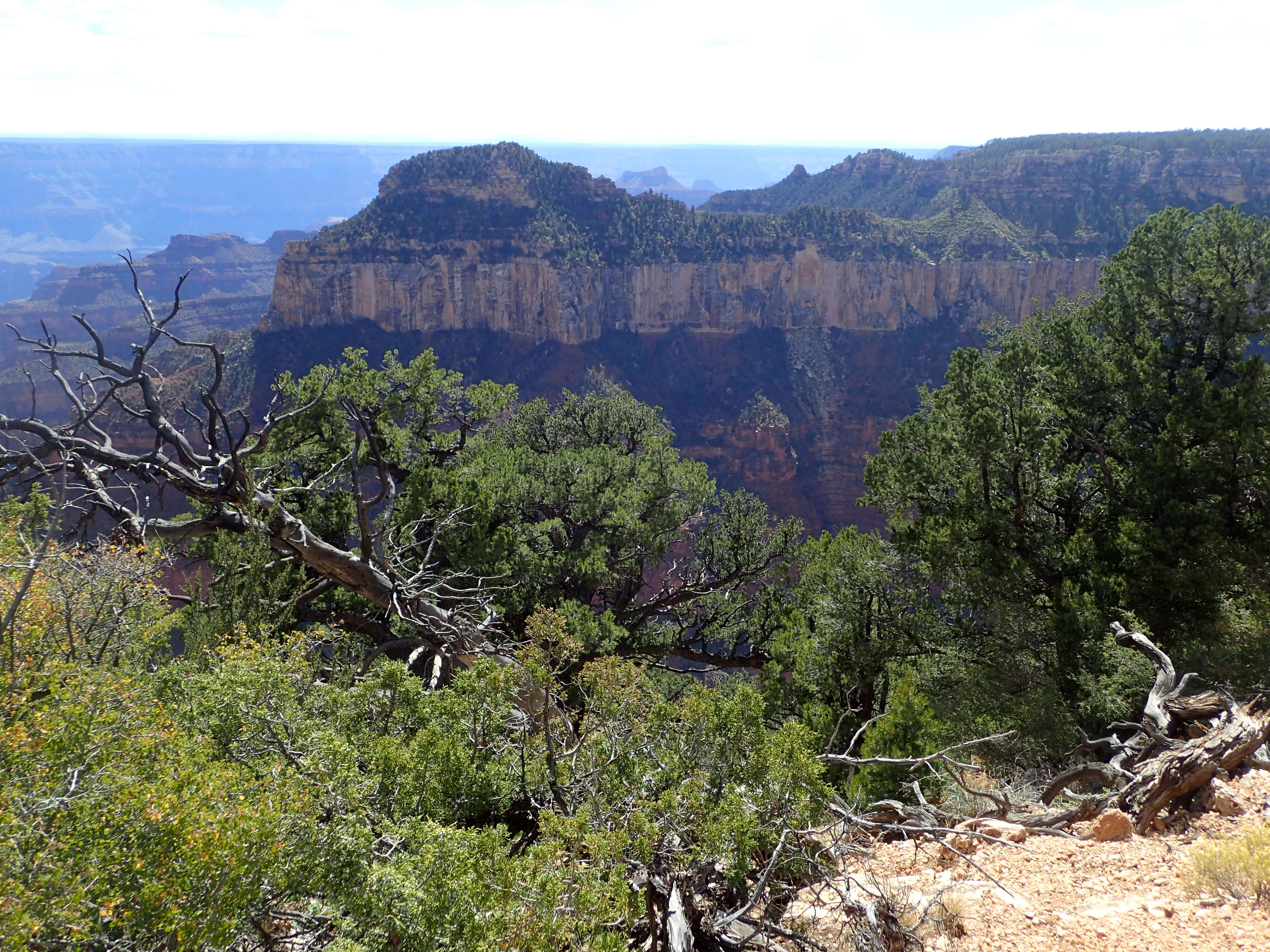
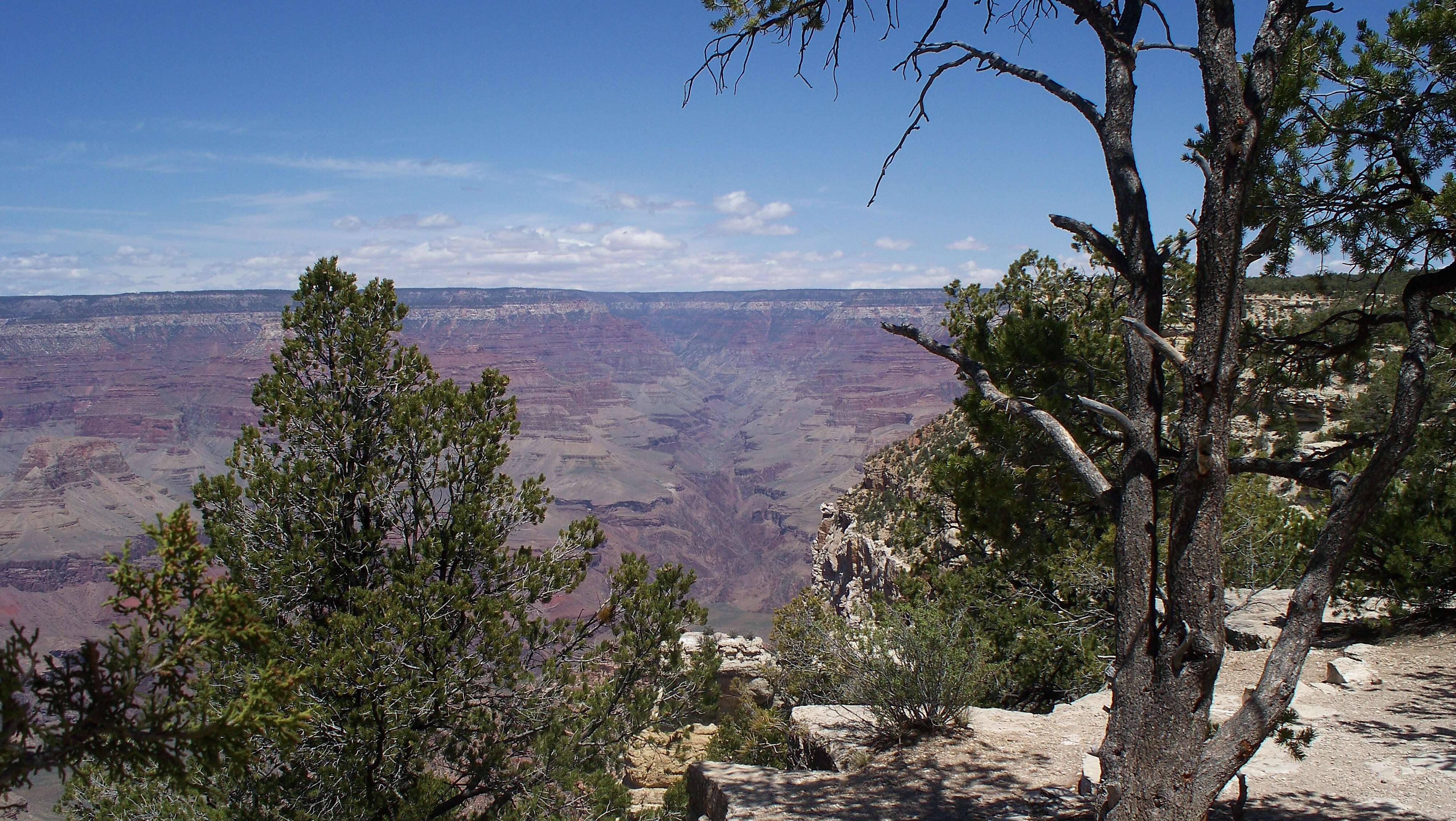
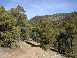
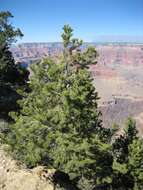
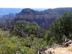
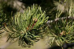
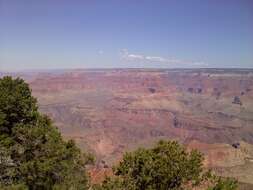
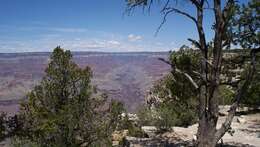
Description: English: Grand Canyon South Rim in August 2010, with
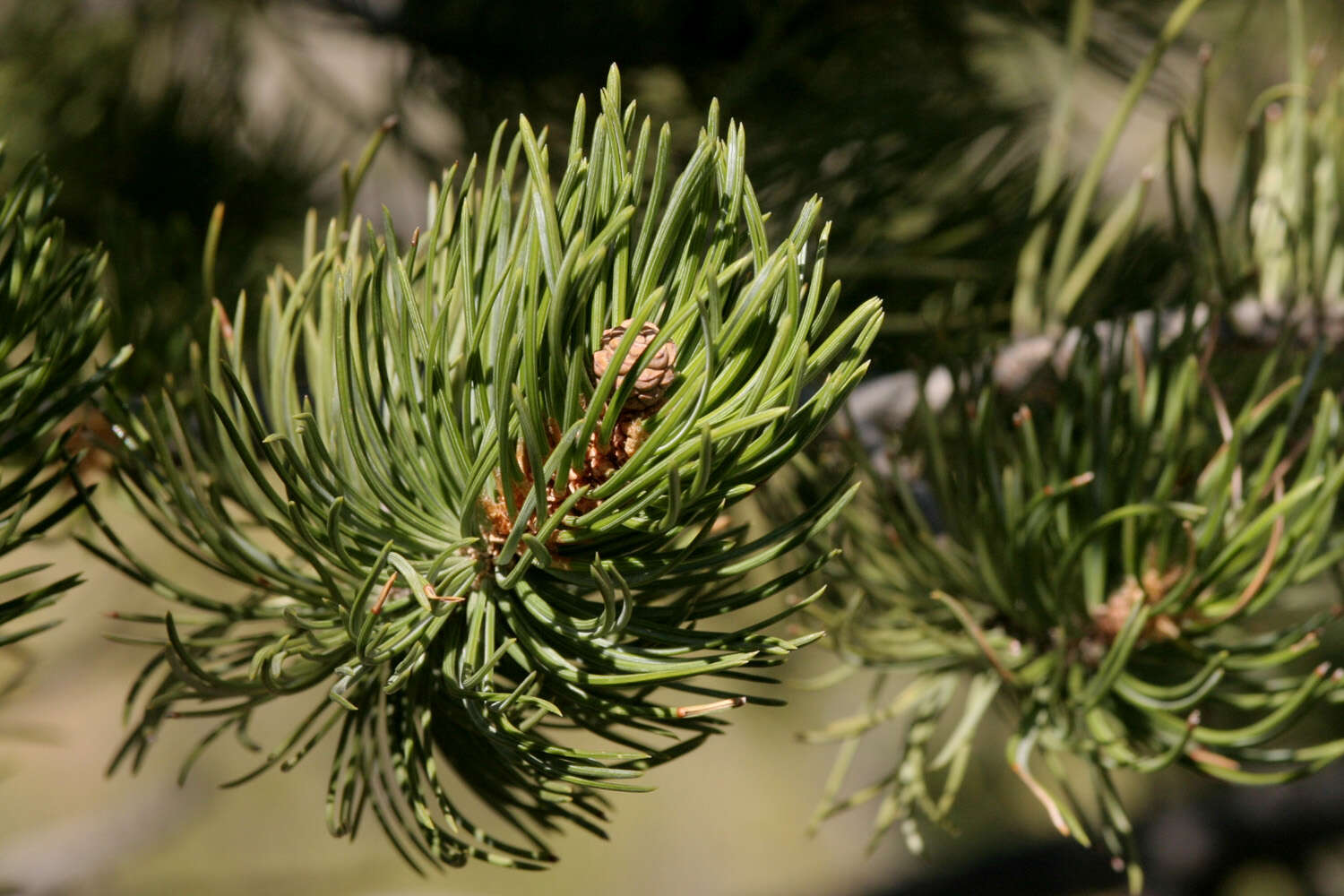
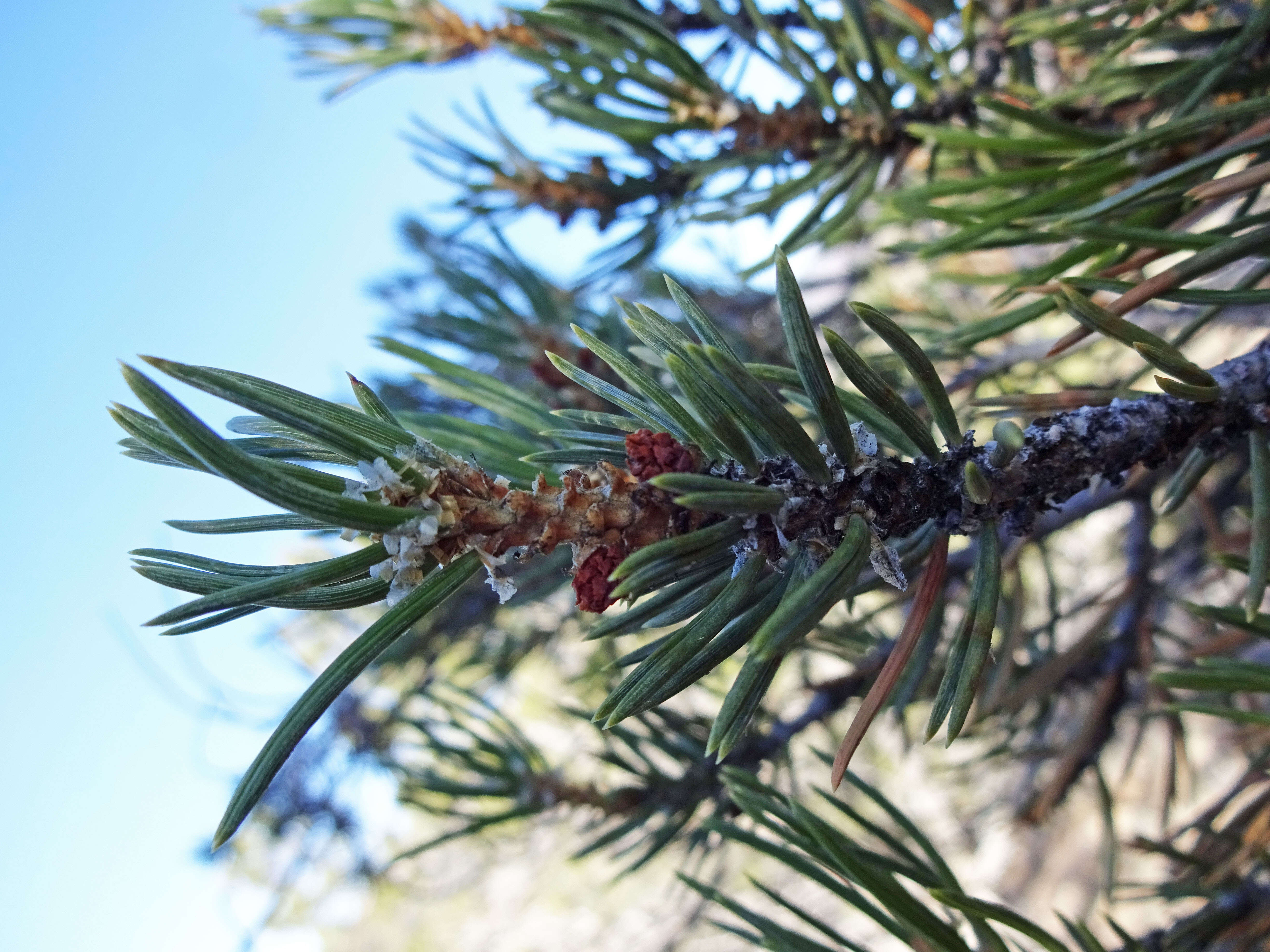
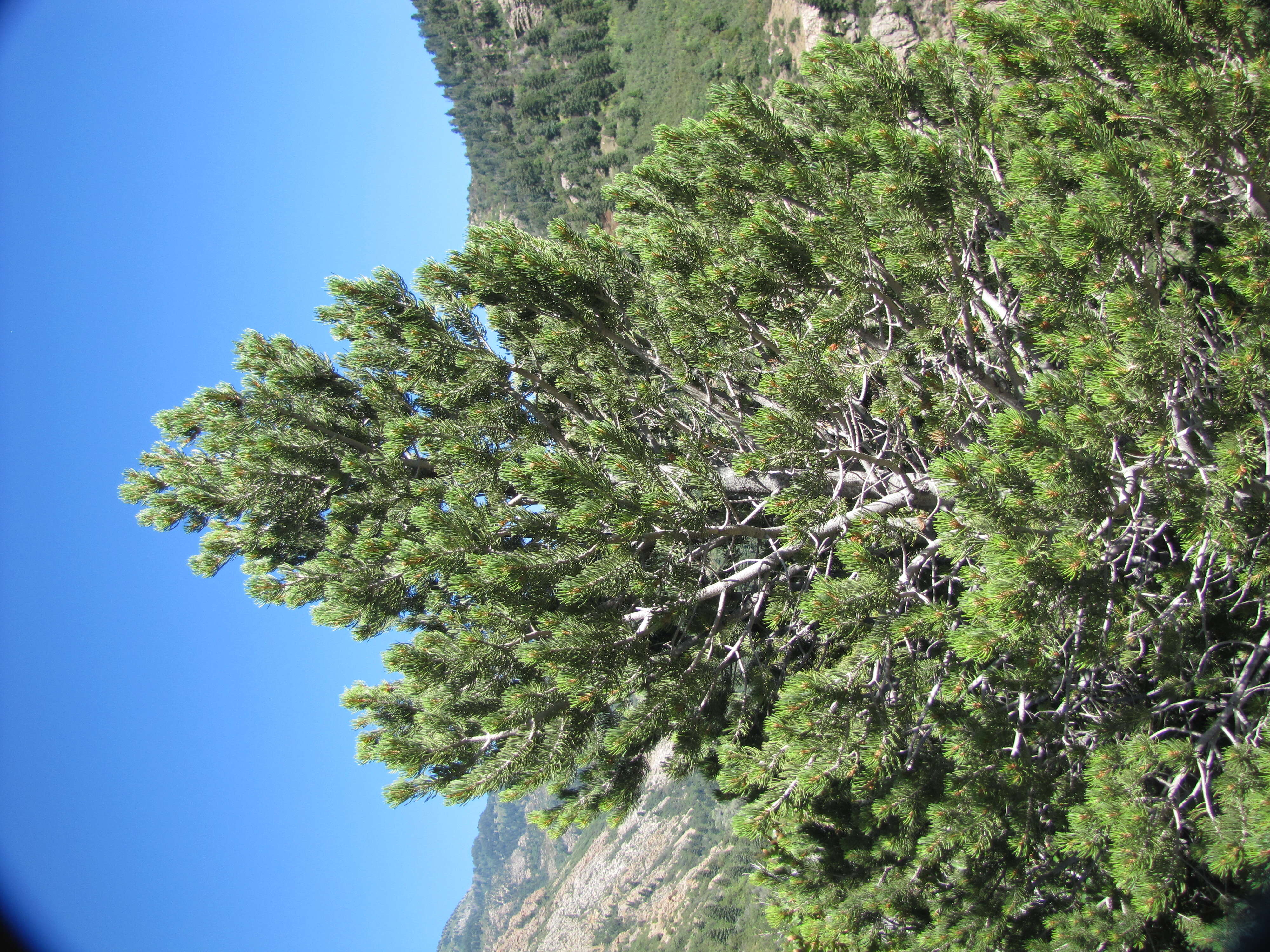
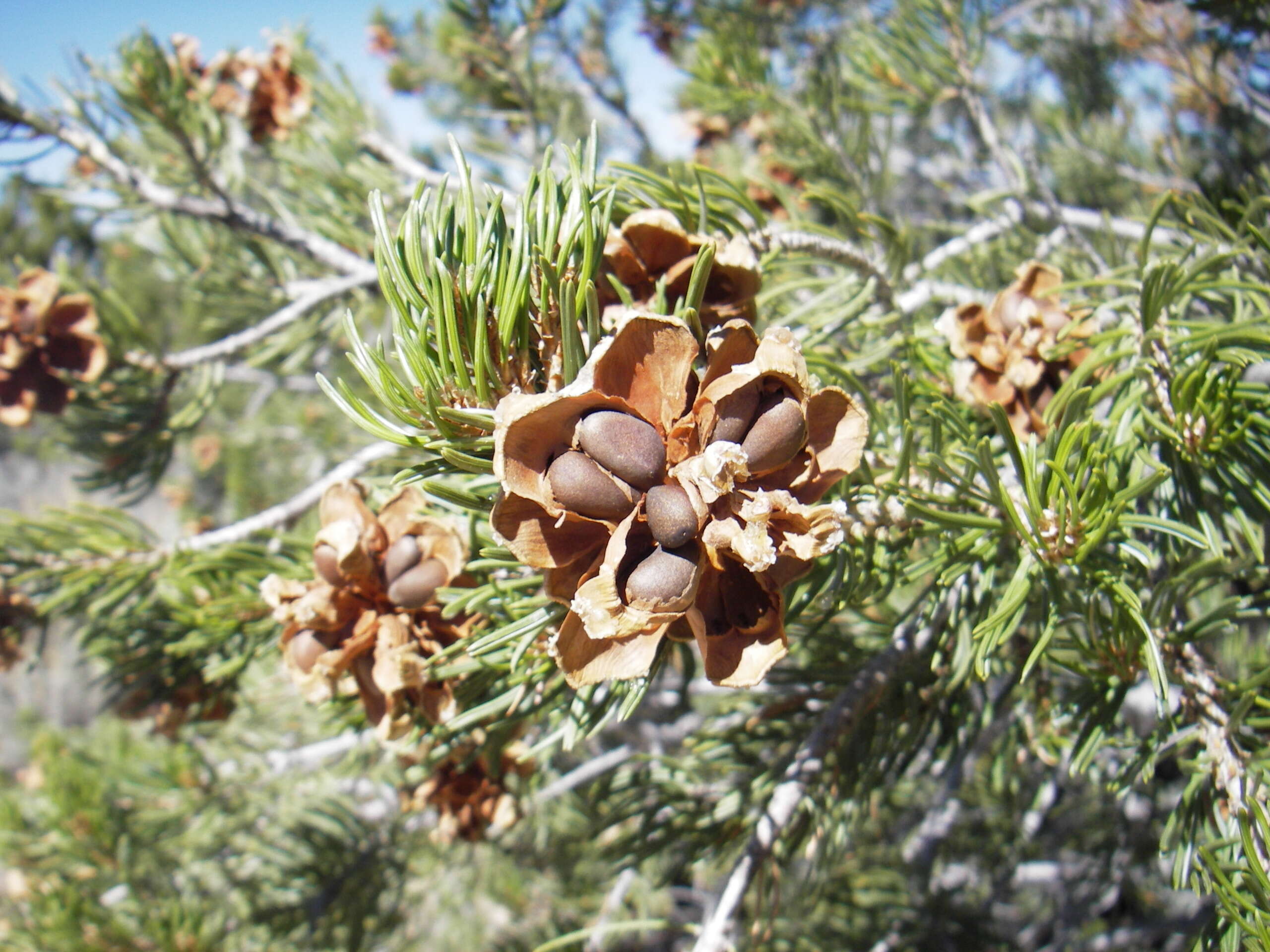
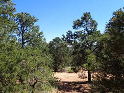
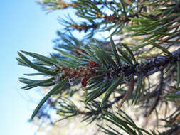
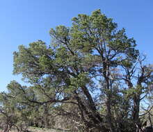
Pinus edulis trees. Date: 25 August 2010. Source: Own work. Author:
Lukep913. Camera location
36° 03′ 31.6″ N, 112° 05′ 00.93″ W View all coordinates using:
OpenStreetMap 36.058779; -112.083592. (estimated camera location: Yaki Point) Licensing[
edit] : This file is licensed under the
Creative Commons Attribution-Share Alike 3.0 Unported license. :. You are free: to share – to copy, distribute and transmit the work to remix – to adapt the work Under the following conditions: attribution – You must give appropriate credit, provide a link to the license, and indicate if changes were made. You may do so in any reasonable manner, but not in any way that suggests the licensor endorses you or your use. share alike – If you remix, transform, or build upon the material, you must distribute your contributions under the
same or compatible license as the original. https://creativecommons.org/licenses/by-sa/3.0 CC BY-SA 3.0 Creative Commons Attribution-Share Alike 3.0 truetrue. 1124 735 282 95 2048 1536 Cheops Pyramid 1180 596 136 56 2048 1536 Isis Temple 983 550 317 38 2048 1536 Shiva Temple 563 584 108 61 2048 1536 Osiris Temple 845 568 67 54 2048 1536 Claude Birdseye Point 727 735 102 87 2048 1536 Trinity Creek 591 538 72 46 2048 1536 Point Sublime 1897 765 67 74 2048 1536 Sturdevant Point 1787 658 161 79 2048 1536 Schellbach Butte 806 1027 64 49 2048 1536 Plateau Point 1554 801 151 102 2048 1536 Phantom Creek, Phantom Canyon