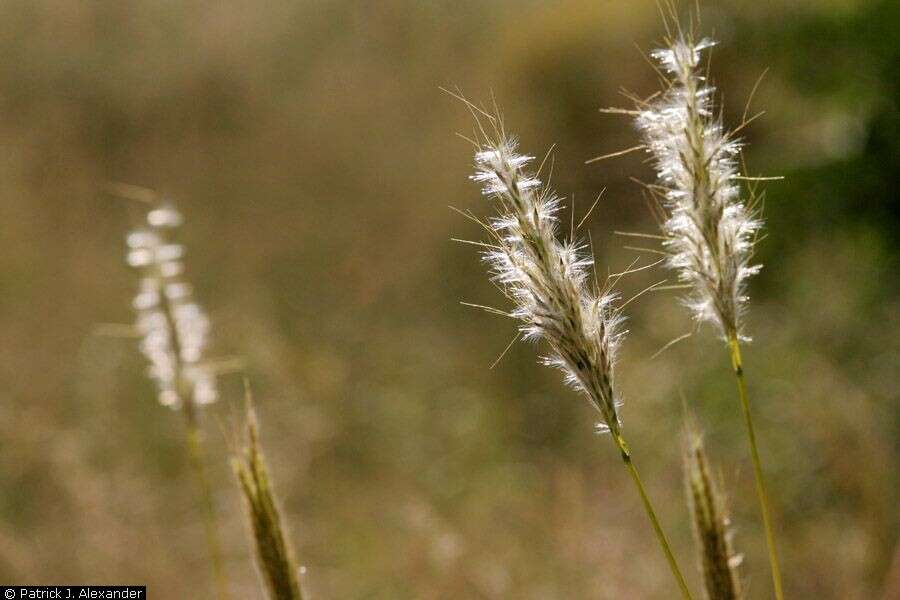
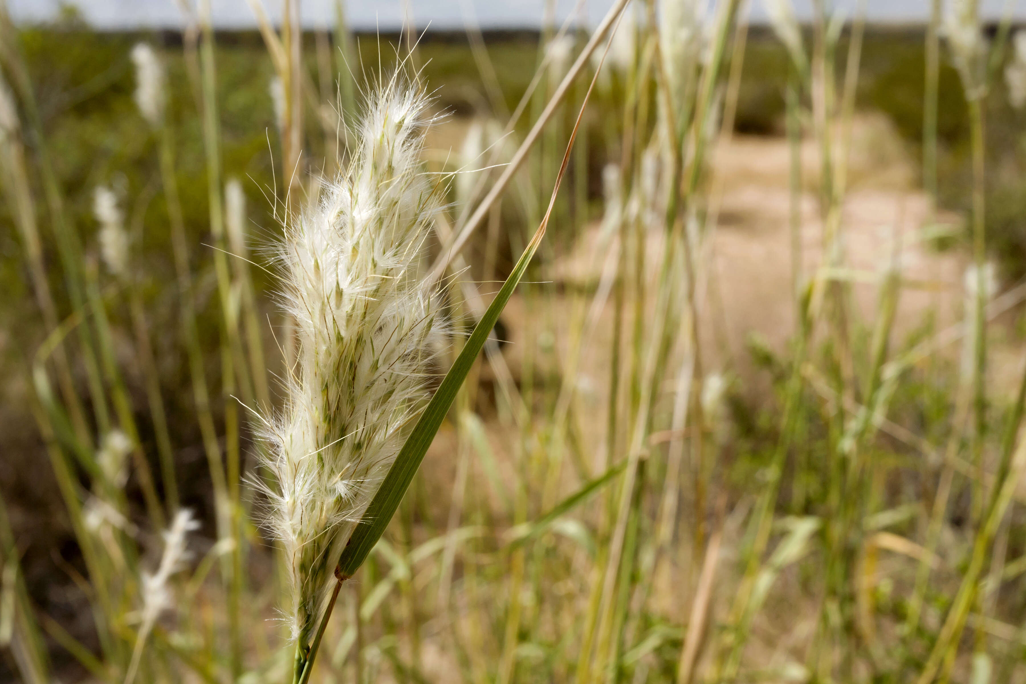
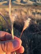
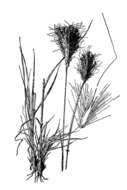
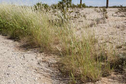
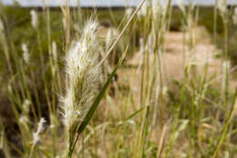
Description: Bothriochloa barbinodis, between the North Franklin Mountains and Chaparral, east-southeast of North Anthony’s Nose and east-northeast of Anthony Gap, 32.0331 -106.4887, Doña Ana County, New Mexico, 22 Sep 2017. Date: 22 September 2017, 13:28. Source: Bothriochloa barbinodis. Author: Patrick Alexander from Las Cruces, NM. Camera location32° 01′ 59.16″ N, 106° 29′ 19.32″ WView all coordinates using: OpenStreetMap 32.033100; -106.488700.
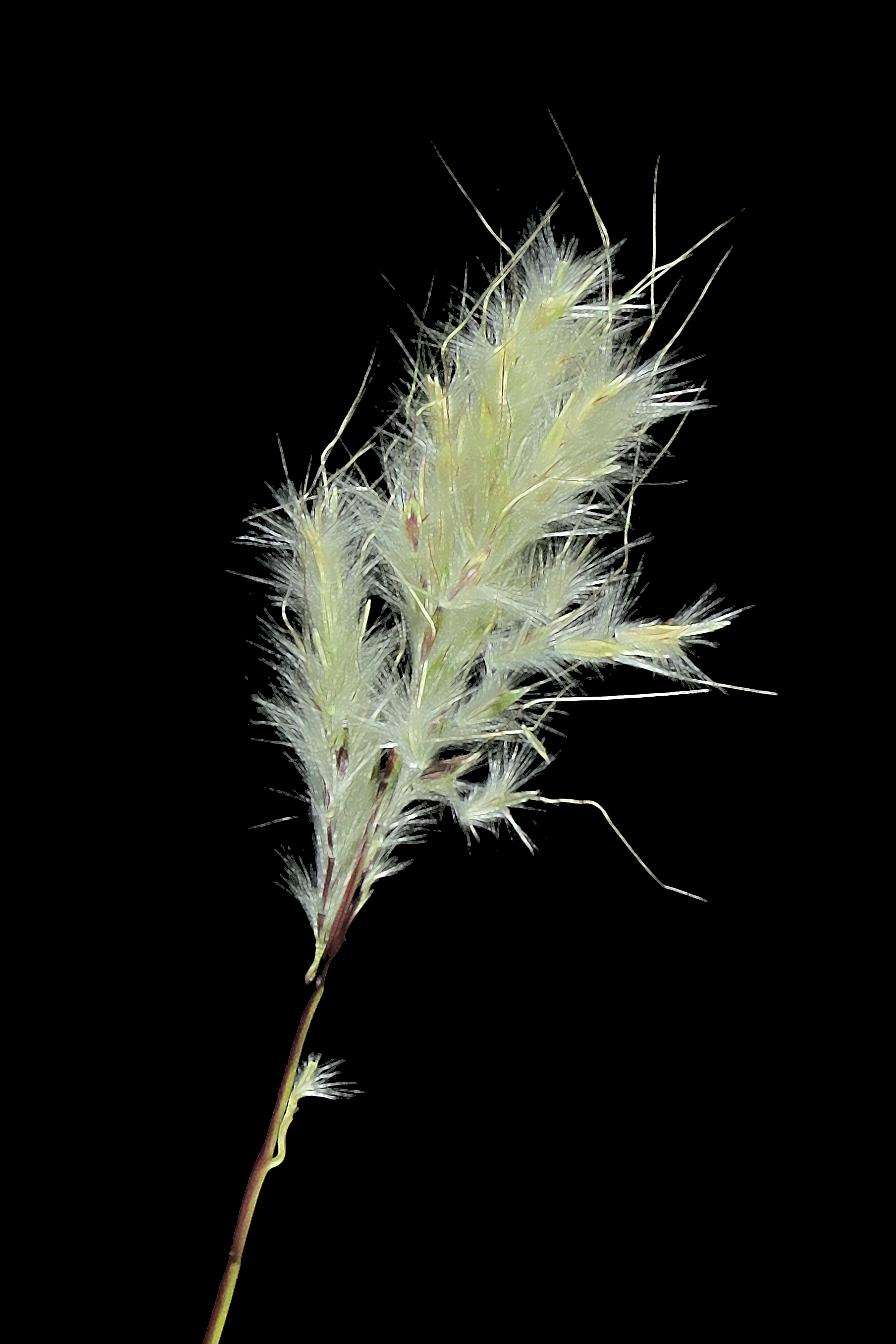
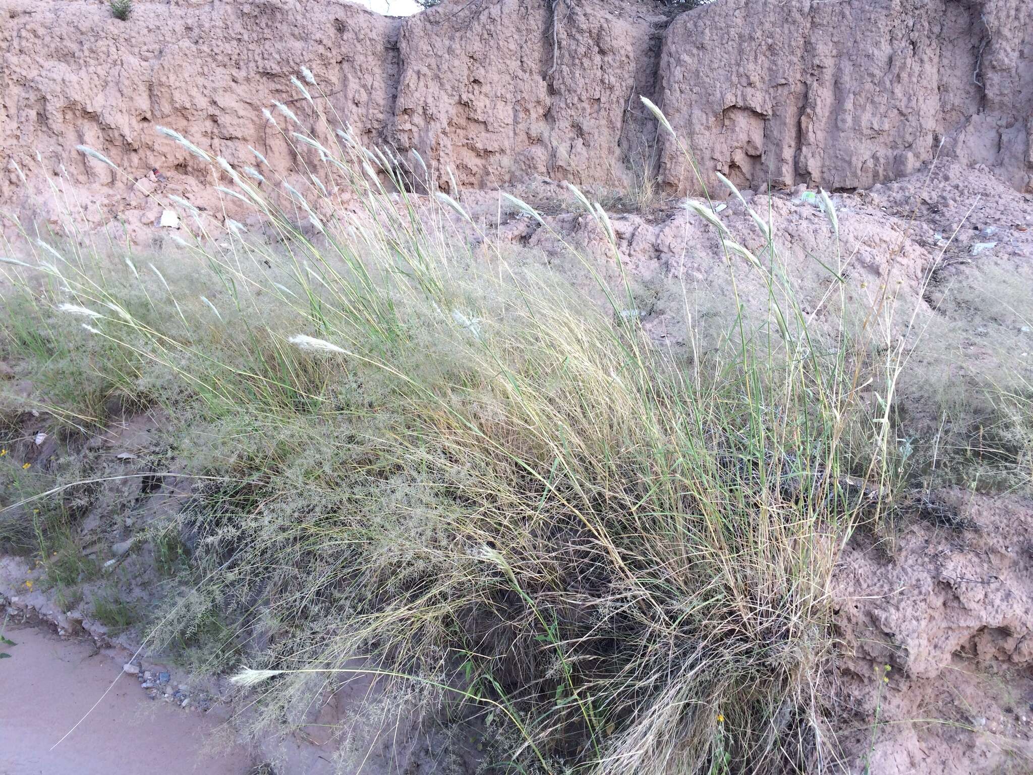
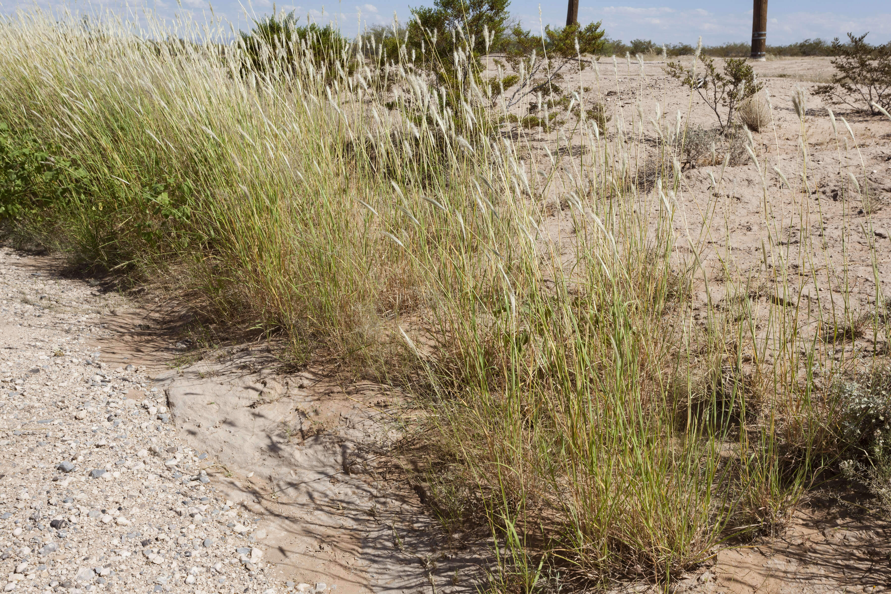
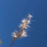
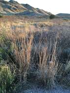
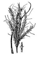
Description: Bothriochloa barbinodis, northeastern Playas Valley, west-northwest of the Brockman Hills, south of Pride Hill, 32.0863 -108.5712, Hidalgo County, New Mexico, 20 Aug 2015. Date: 20 August 2015, 12:18. Source: Bothriochloa barbinodis. Author: Patrick Alexander from Las Cruces, NM. Camera location32° 05′ 10.68″ N, 108° 34′ 16.32″ WView all coordinates using: OpenStreetMap 32.086300; -108.571200.
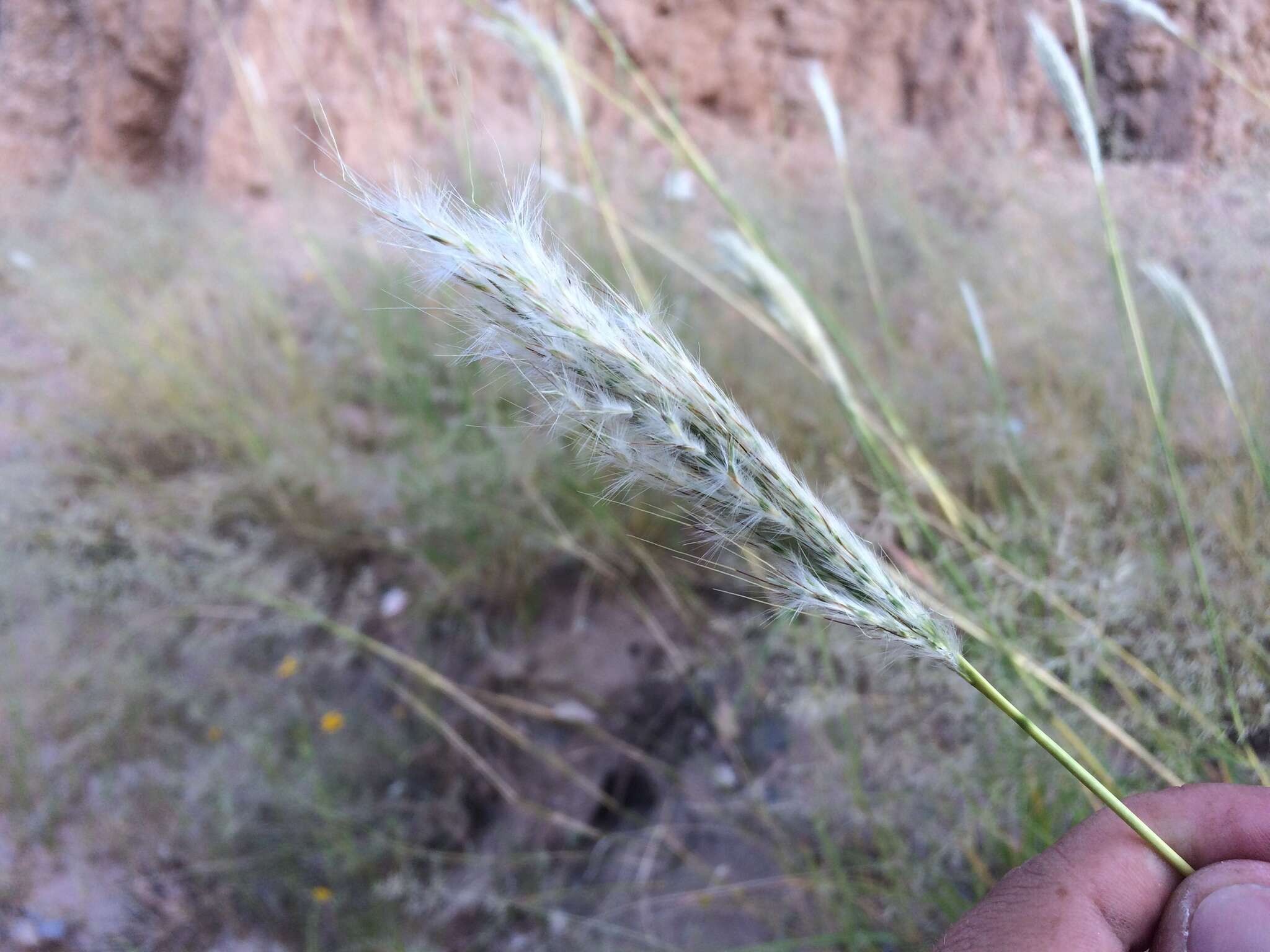
Description: Bothriochloa barbinodis, collected between the North Franklin Mountains and Chaparral, east-southeast of North Anthony’s Nose and east-northeast of Anthony Gap, 32.033 -106.489, Doña Ana County, New Mexico, 22 Sep 2017. Date: 24 October 2017, 13:45. Source: Bothriochloa barbinodis. Author: Patrick Alexander from Las Cruces, NM. Camera location32° 01′ 58.8″ N, 106° 29′ 20.4″ WView all coordinates using: OpenStreetMap 32.033000; -106.489000.
Description: Bothriochloa barbinodis, northeastern Playas Valley, west-northwest of the Brockman Hills, south of Pride Hill, 32.0863 -108.5712, Hidalgo County, New Mexico, 20 Aug 2015. Date: 20 August 2015, 12:24. Source: Bothriochloa barbinodis. Author: Patrick Alexander from Las Cruces, NM. Camera location32° 05′ 10.68″ N, 108° 34′ 16.32″ WView all coordinates using: OpenStreetMap 32.086300; -108.571200.
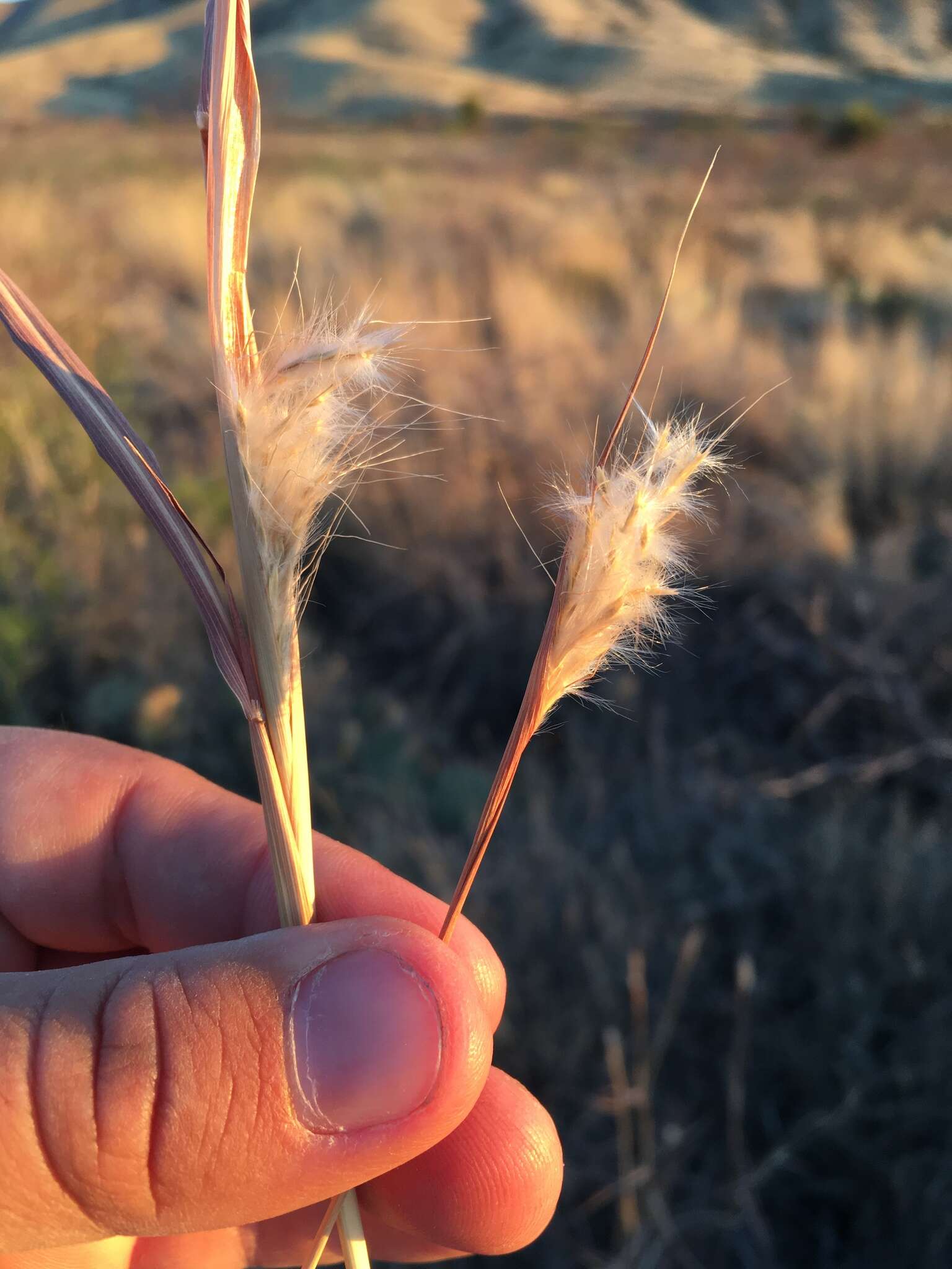
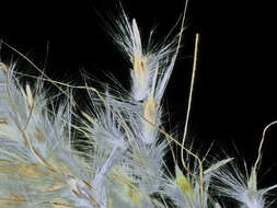
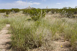
Description: Bothriochloa barbinodis, collected in the West Potrillo Mountains, east of Potrillo Peak and west of Cox Peak, 31.9241 -107.1988, Doña Ana County, New Mexico, photographed 18 Oct 2018. Date: 18 October 2018, 14:43. Source: Bothriochlo barbinodis. Author: Patrick Alexander from Las Cruces, NM. Camera location31° 55′ 26.76″ N, 107° 11′ 55.68″ WView all coordinates using: OpenStreetMap 31.924100; -107.198800.
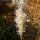
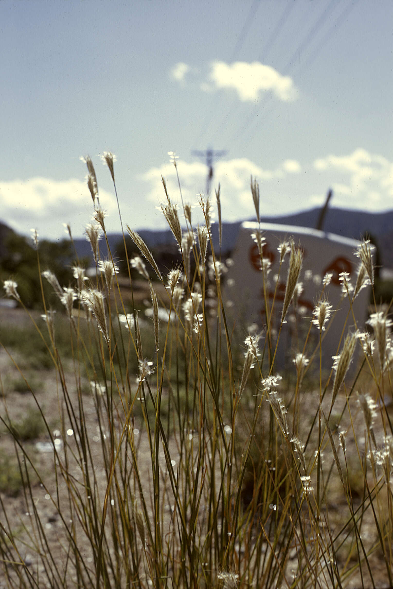
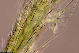
Description: Bothriochloa barbinodis, collected near the north edge of the Aden Malpais west of Afton, 32.07864 -106.98192, Doña Ana County, New Mexico, 30 Sep 2015. Date: 30 September 2015, 11:58. Source: Bothriochloa barbinodis. Author: Patrick Alexander from Las Cruces, NM. Camera location32° 04′ 43.1″ N, 106° 58′ 54.91″ WView all coordinates using: OpenStreetMap 32.078640; -106.981920.
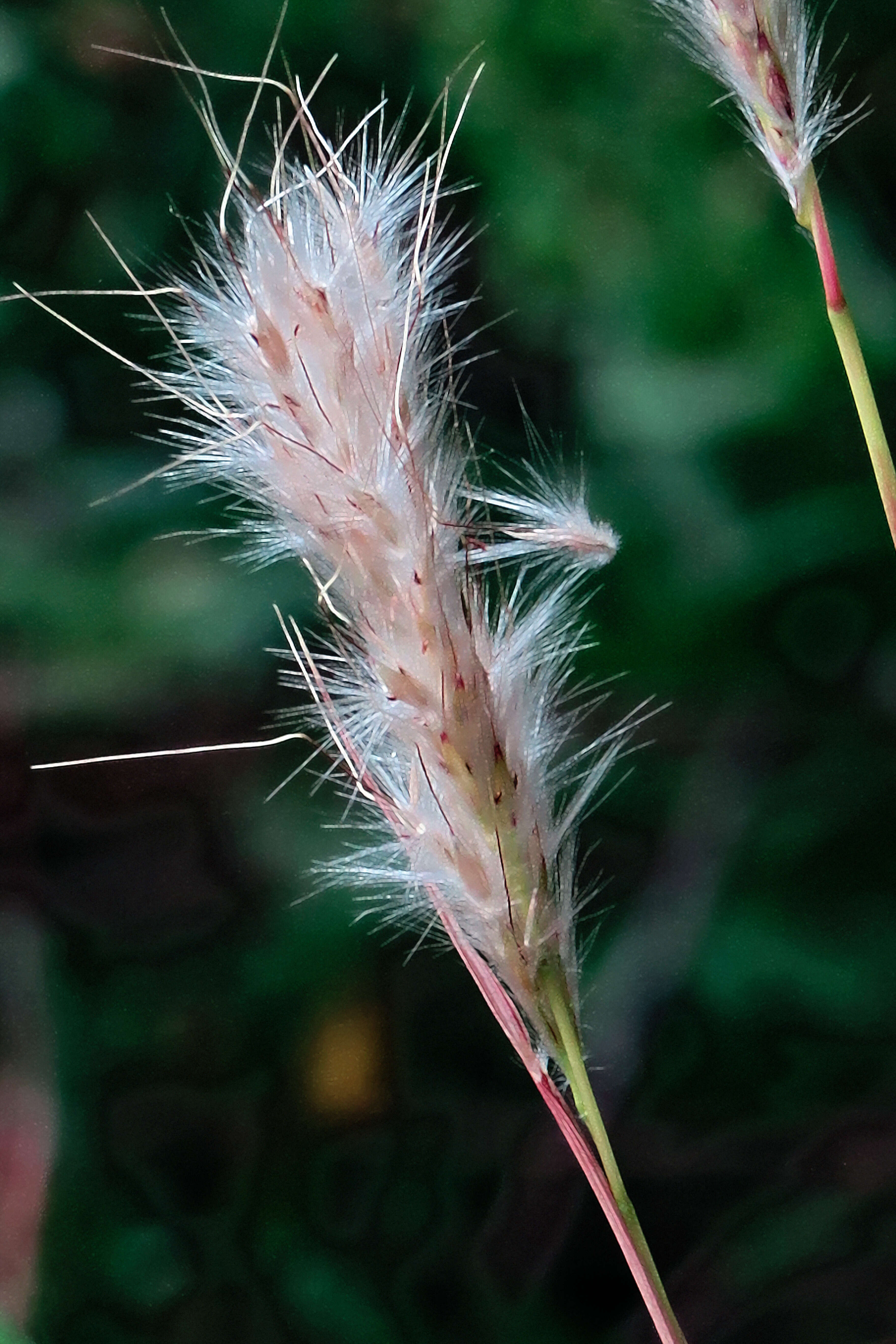
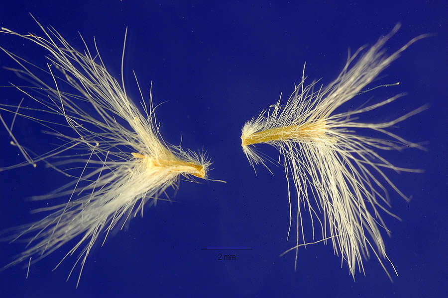
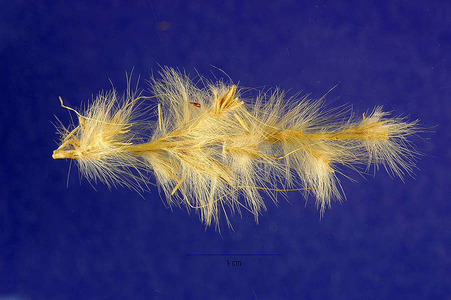
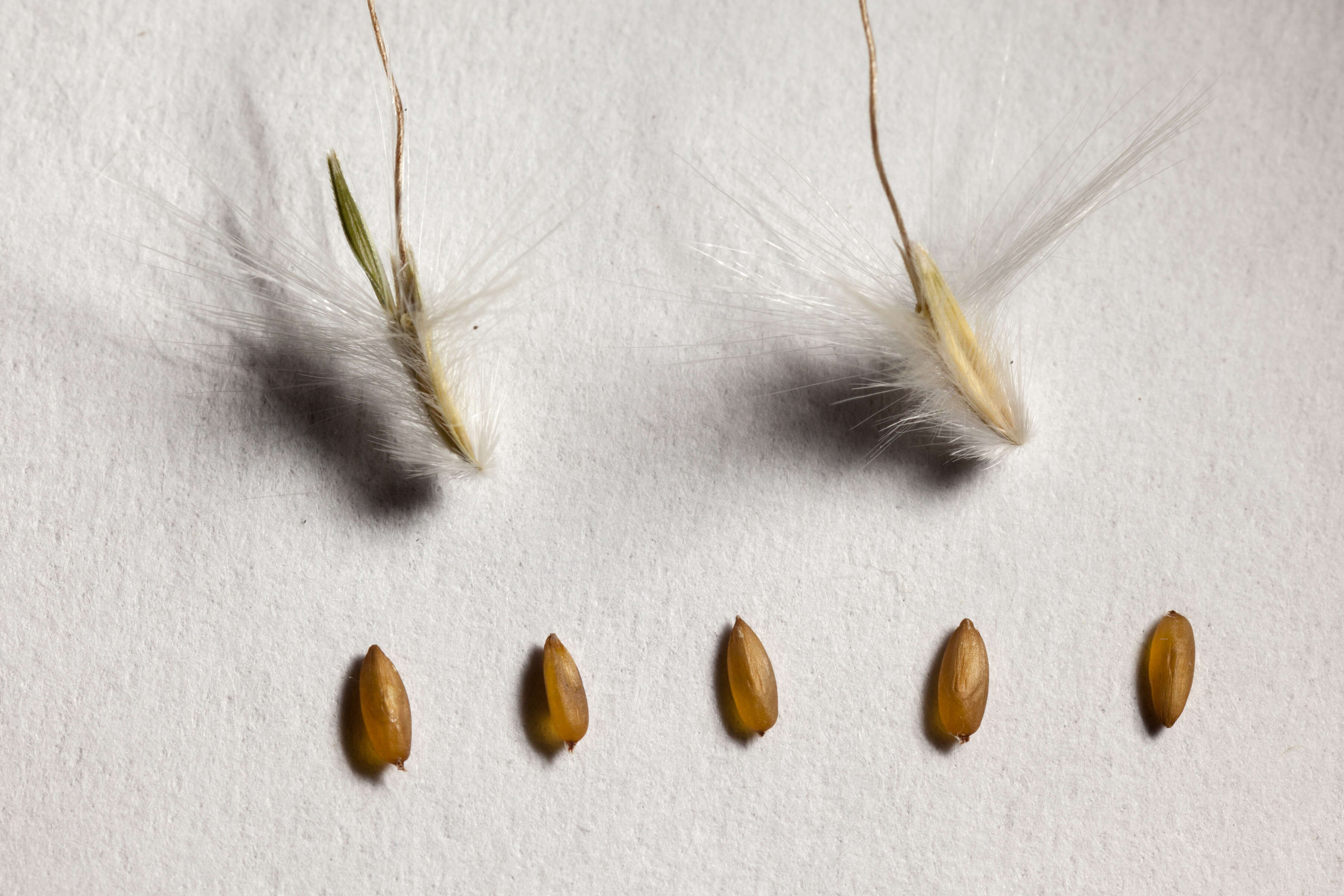
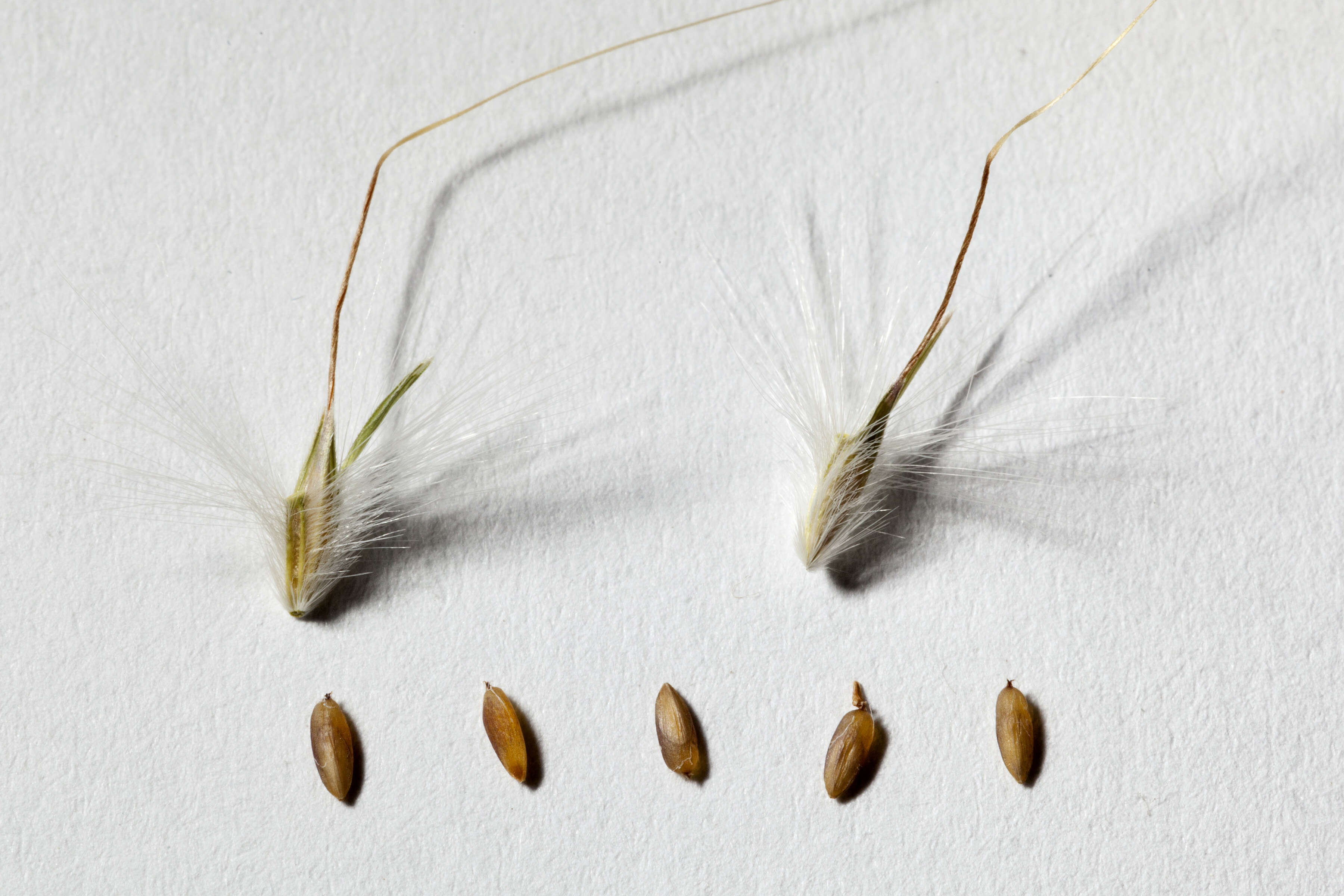
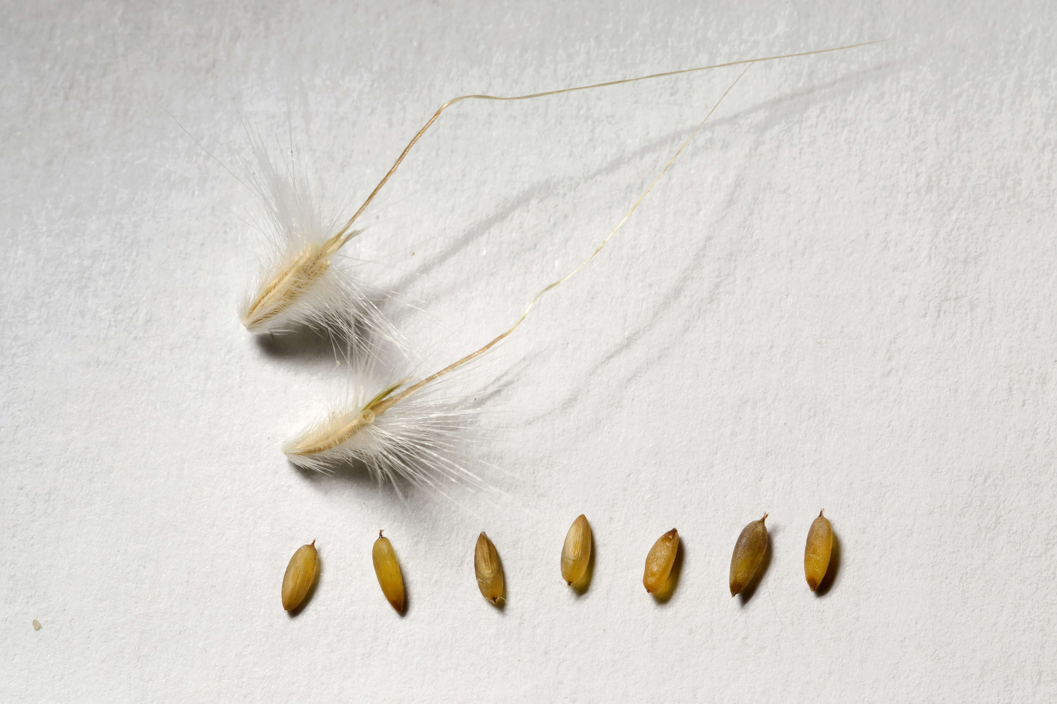
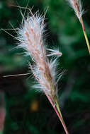
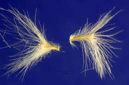
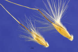
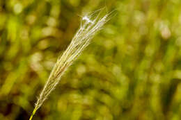
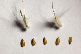
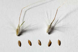
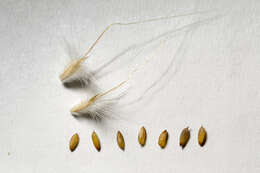
Description: Bothriochloa barbinodis—cane bluestem. An important grass throughout the Southwest into Mexico and farther South. Does not respond well to overgrazing. An invasive in Hawaii. Both sessile (sterile) and pedicellate spikelets are shown, each measuring around 5 mm. The plant that provided the culm resides in Regional Parks Botanic Garden located in Tilden Regional Park near Berkeley, CA. Date: 23 July 2016, 15:01. Source: 2016-07-23-11.44.38 ZS PMax Bothriochloa barbinodis-1. Author: John Rusk from Berkeley, CA, United States of America. Camera location 37° 53′ 40.28″ N, 122° 14′ 38.25″ W: View all coordinates using: OpenStreetMap - Google Earth: 37.894522; -122.243959.
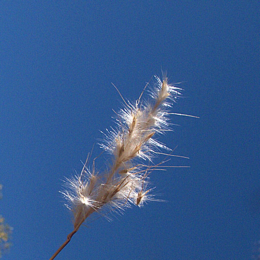
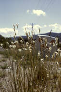
Description: Bothriochloa barbinodis near the northeast edge of Aden Malpais, west-northwest of Afton, 32.079 -106.982, Doña Ana County, New Mexico, 25 Sep 2015. Date: 25 September 2015, 15:46. Source: Bothriochloa barbinodis. Author: Patrick Alexander from Las Cruces, NM. Camera location32° 04′ 44.4″ N, 106° 58′ 55.2″ WView all coordinates using: OpenStreetMap 32.079000; -106.982000.