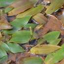
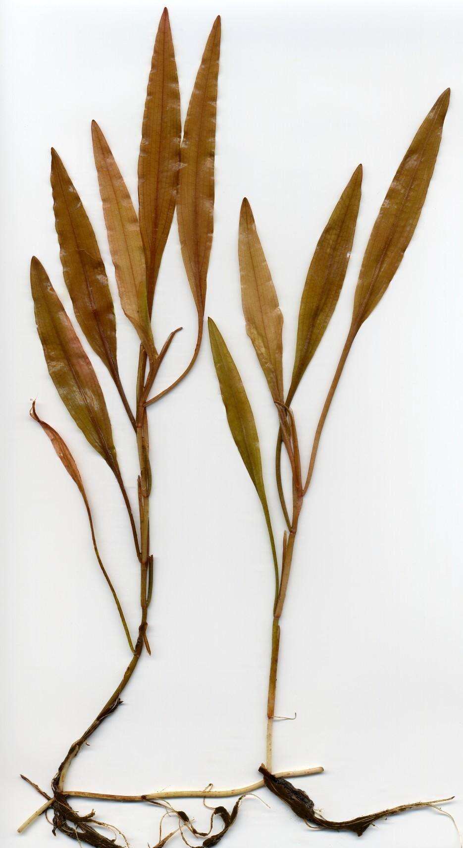
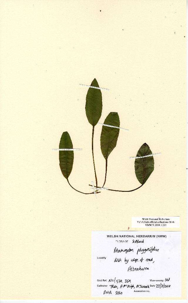
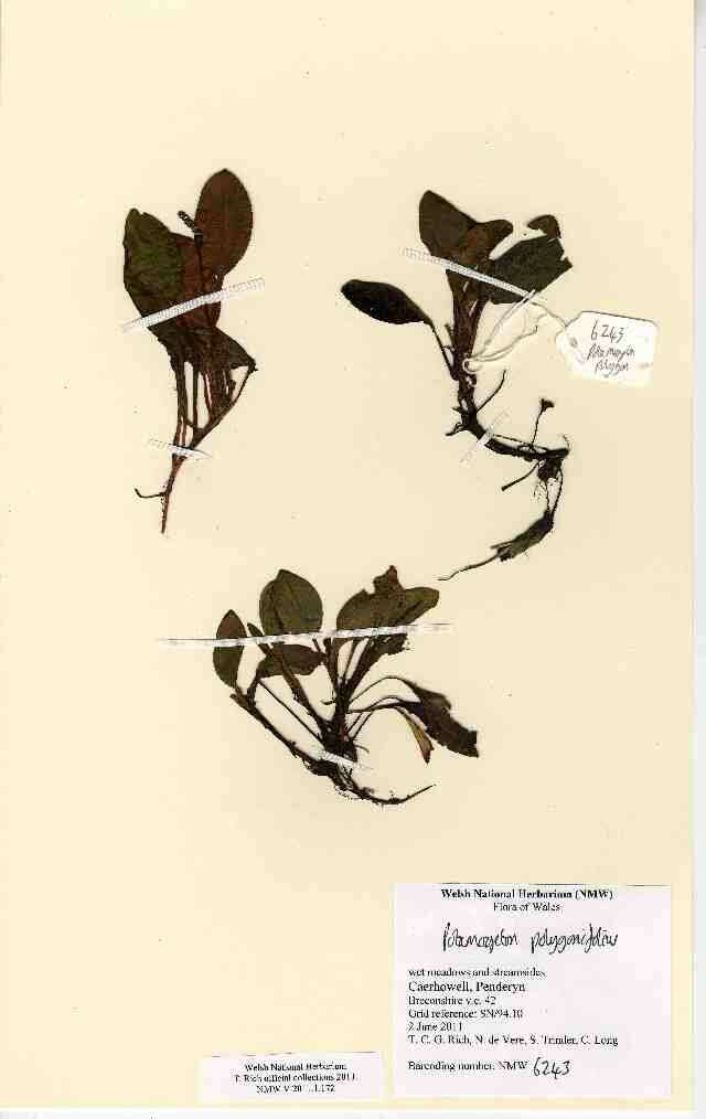
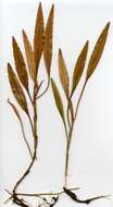
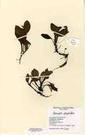
: Permission is granted to copy, distribute and/or modify this document under the terms of the GNU Free Documentation License, Version 1.2 or any later version published by the Free Software Foundation; with no Invariant Sections, no Front-Cover Texts, and no Back-Cover Texts. A copy of the license is included in the section entitled GNU Free Documentation License.http://www.gnu.org/copyleft/fdl.htmlGFDLGNU Free Documentation Licensetruetrue. : This file is licensed under the Creative CommonsAttribution-Share Alike 3.0 Unported license.:.. This licensing tag was added to this file as part of the GFDL licensing update.http://creativecommons.org/licenses/by-sa/3.0/CC-BY-SA-3.0Creative Commons Attribution-Share Alike 3.0truetrue. Potamogeton polygonifolius: Leaves.
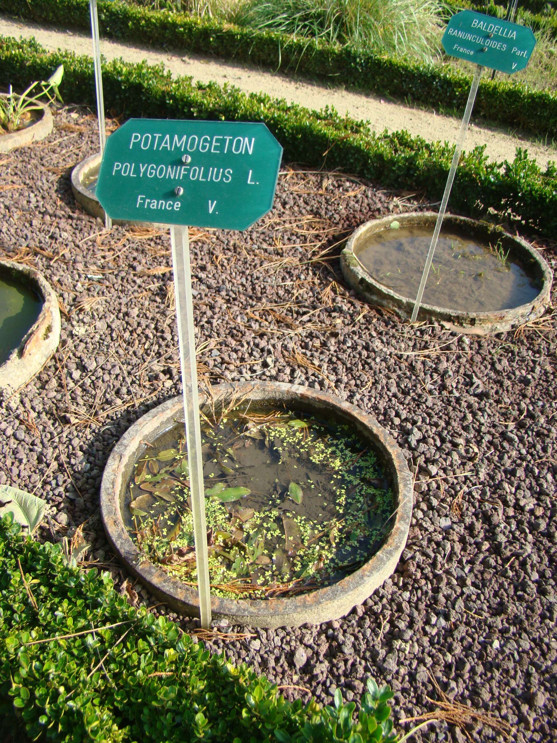
Description: Français : Potamogeton polygonifolius au parc du Thabor. Date: September 2008. Source: Own work. Author: Abujoy. Permission (Reusing this file): : This file is licensed under the Creative CommonsAttribution-Share Alike 2.5 Generic license.:. https://creativecommons.org/licenses/by-sa/2.5 CC BY-SA 2.5 Creative Commons Attribution-Share Alike 2.5 truetrue.
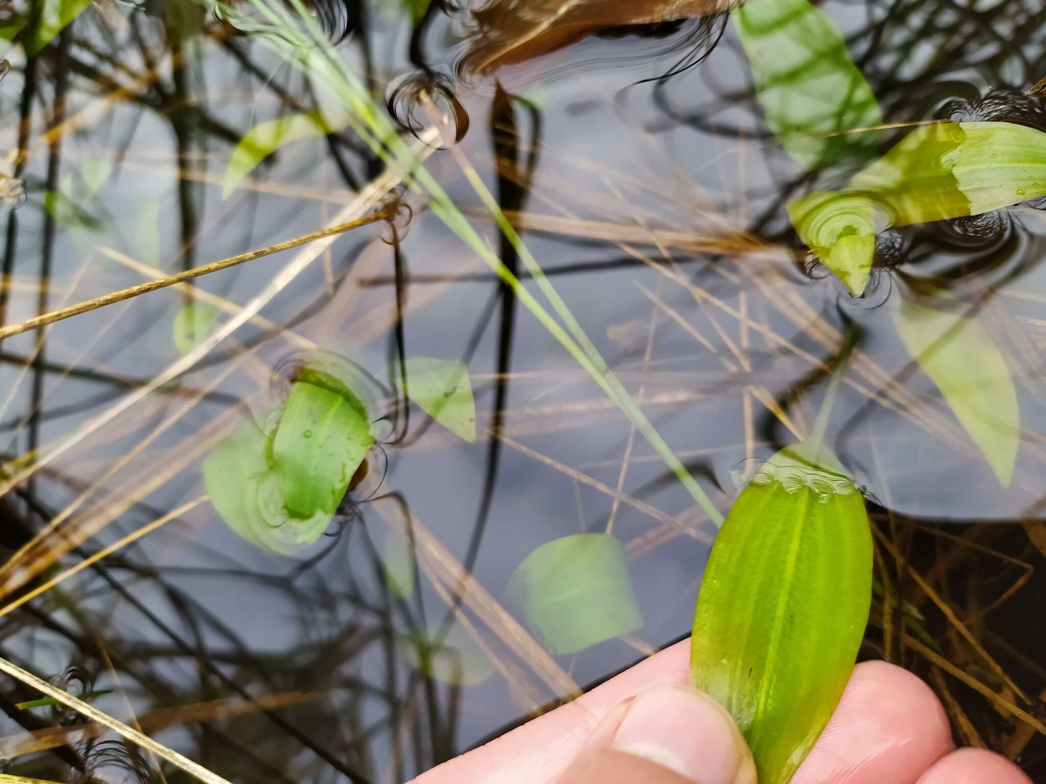
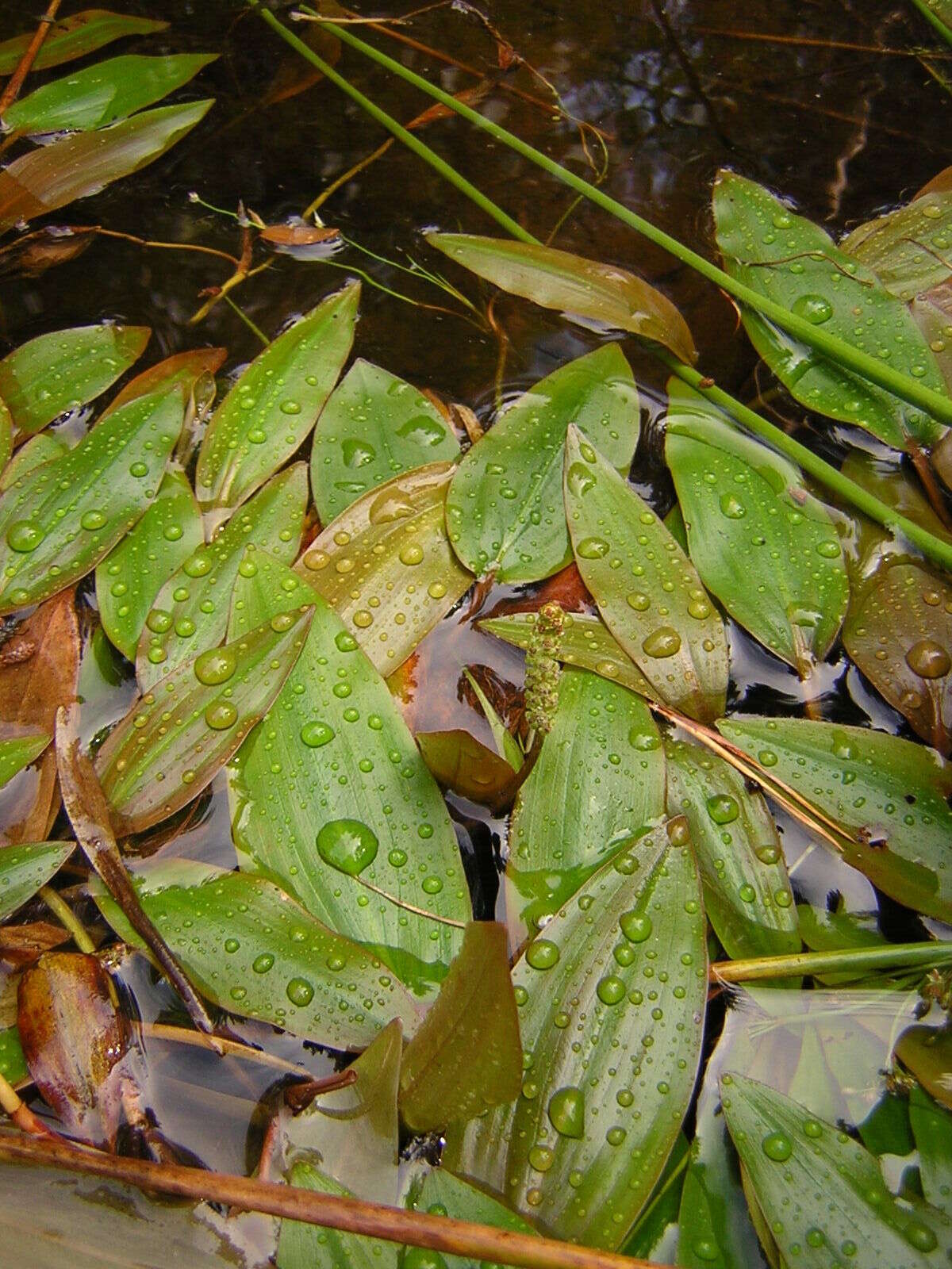
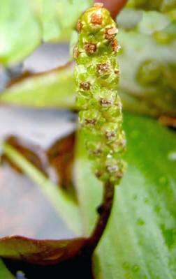
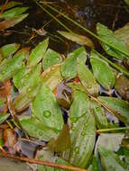
Description: English: Submerged leaves of the pondweed Potamogeton polygonifolius. Deutsch: Längliche Unterwasserblätter von Knöterich-Laichkraut (Potamogeton polygonifolius). Aufgenommen mit einem Flachbettscanner. Date: 6 August 2006. Source: Own work. Location: North-eastern Lower Saxony, Germany (ex situ). Author: Christian Fischer. : This file is licensed under the Creative CommonsAttribution-Share Alike 3.0 Unported license.:. Attribution: Christian Fischer. https://creativecommons.org/licenses/by-sa/3.0 CC BY-SA 3.0 Creative Commons Attribution-Share Alike 3.0 truetrue.
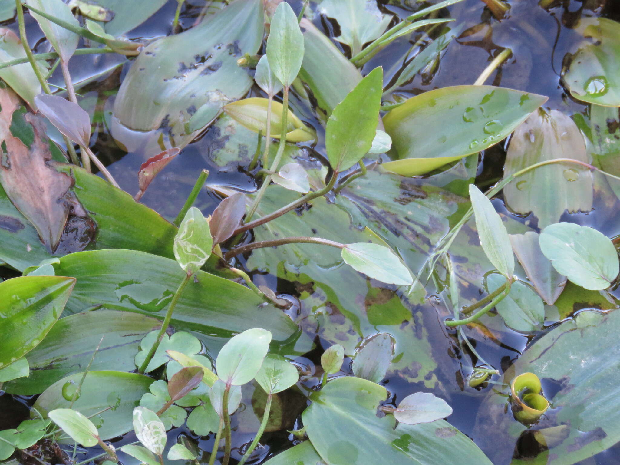
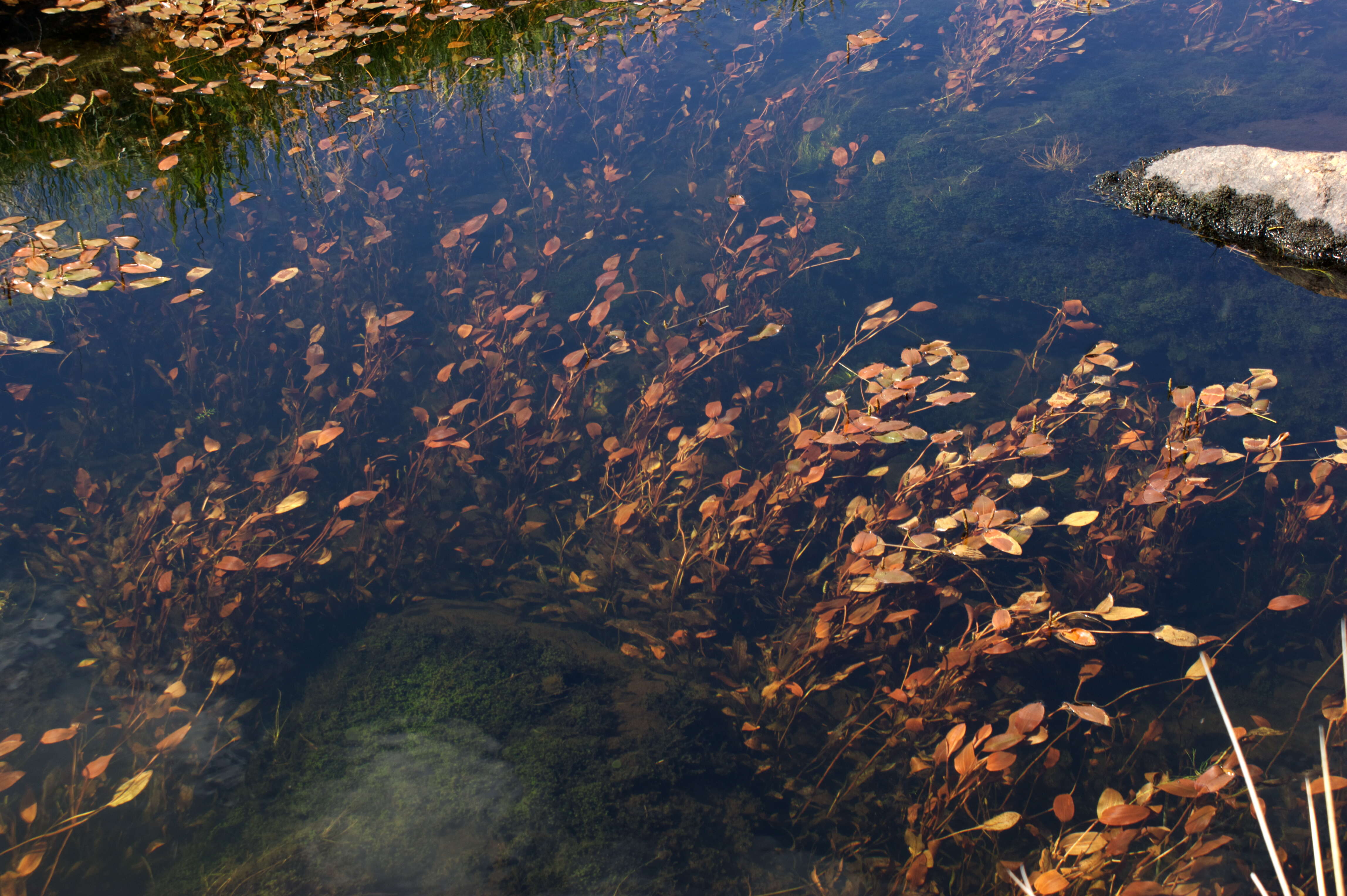
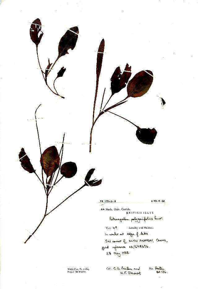
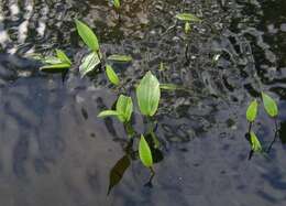
Description: English: Bog pondweed, Potamogeton polygonifolius, in a lake outflow in North Wales. Date: 7 June 2013, 15:06:50. Source: Own work. Author: Tristan He. Camera location53° 03′ 00.61″ N, 4° 08′ 16.21″ WView all coordinates using: OpenStreetMap 53.050170; -4.137837.
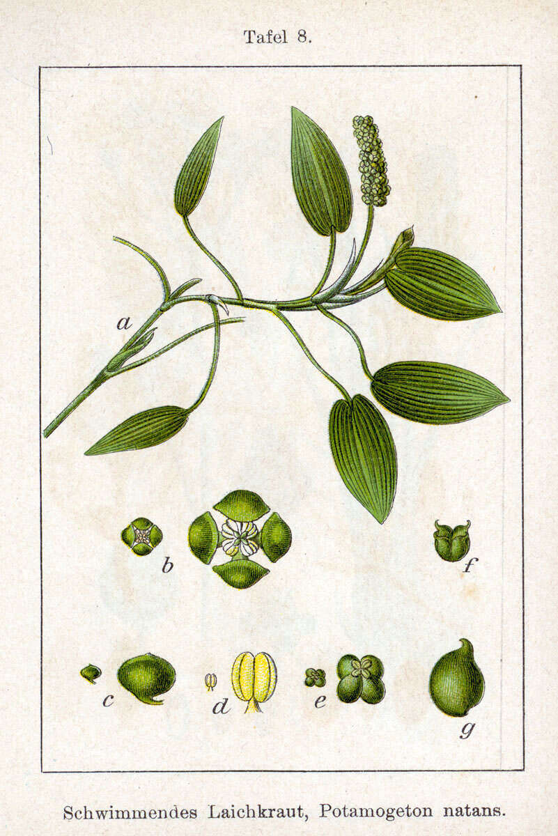
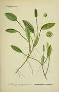
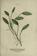
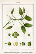
Description: Potamogeton natans L. Original Description Schwimmendes Laichkraut, Potamogeton natans. Date: 1796. Source: Fig. from book Deutschlands Flora in Abbildungen at http://www.biolib.de. Author: Johann Georg Sturm (Painter: Jacob Sturm).
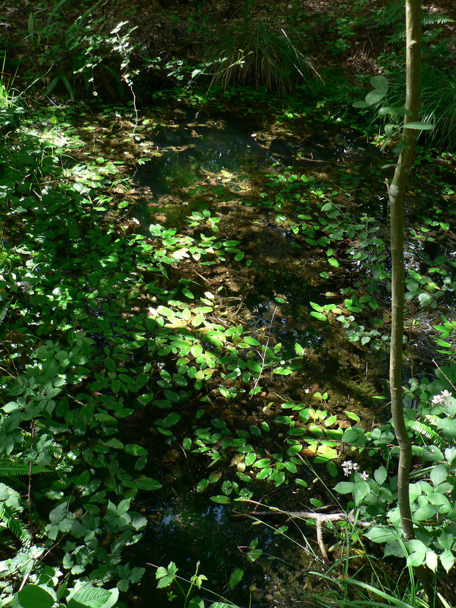
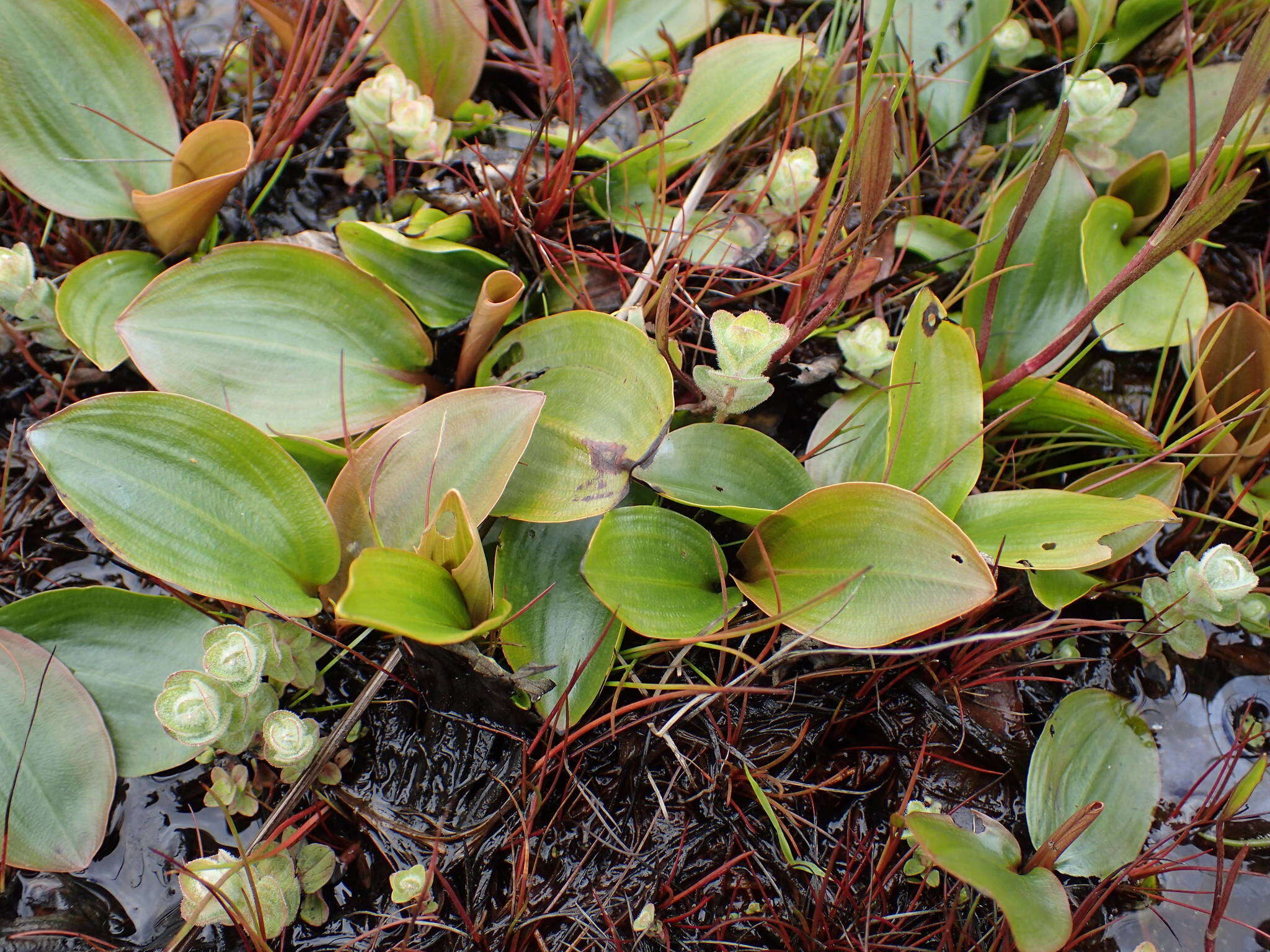
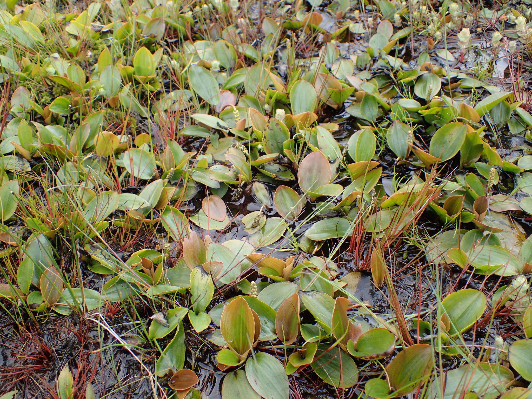
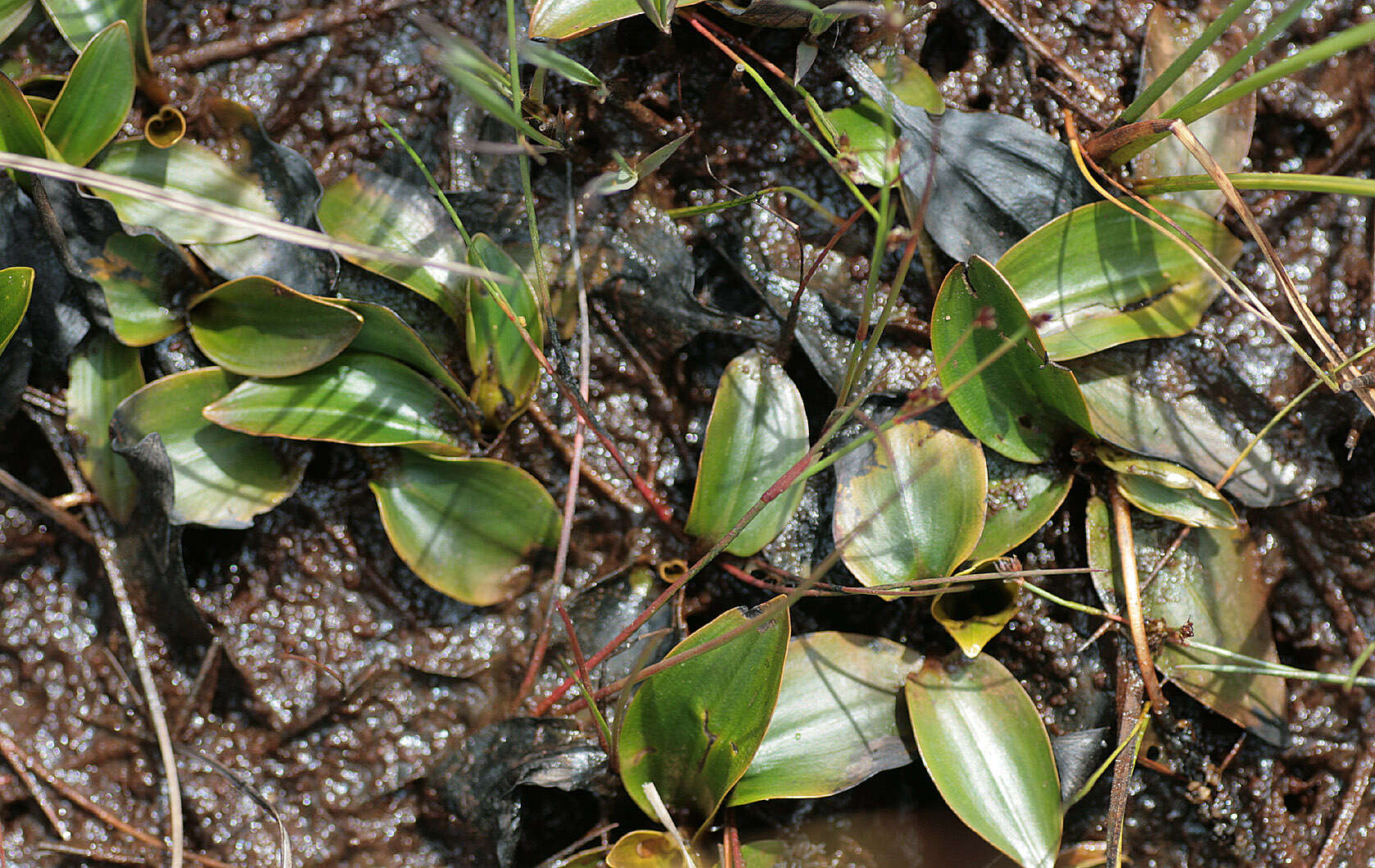
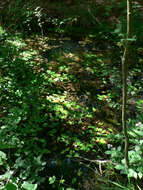
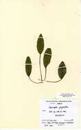
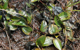
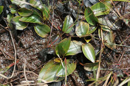
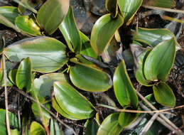
Longitude (deg): -0.6. Latitude (deg): 54.3. Longitude (deg/min): 0° 40' W. Latitude (deg/min): 54° 20' N. Vice county name: North-east Yorks. Vice county no.: 62. Country: England. Stage: Vegetative. Identified by: Malcolm Storey. Comment: in damp Sphagnum and shallow bog pools. Category: standard photograph or close-up. Photographic equipment used: Canon EOS400D dSLR with Tamron SP AF Di 90mm Macro 1:1 lens.
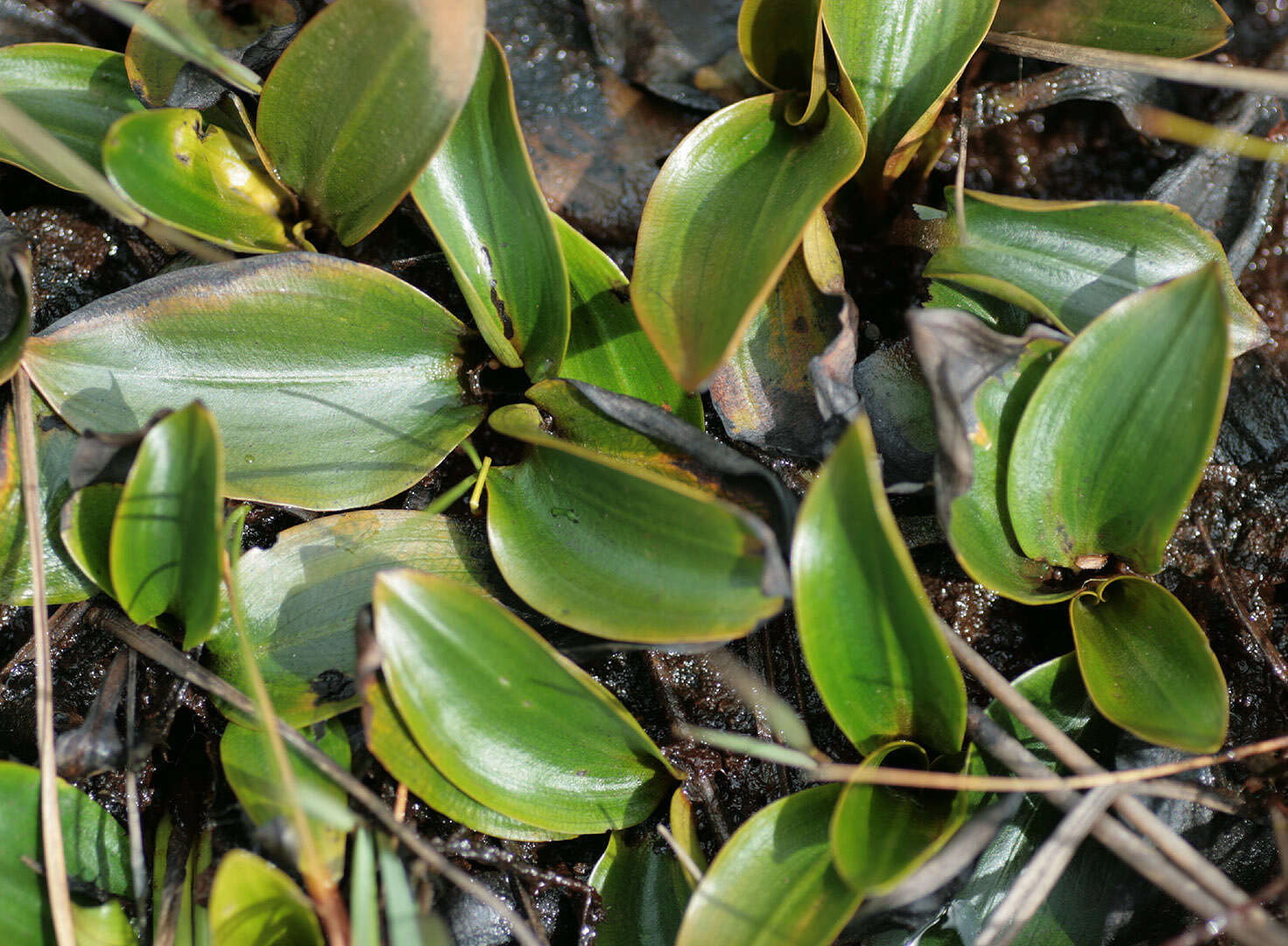
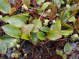
Longitude (deg): -0.6. Latitude (deg): 54.3. Longitude (deg/min): 0° 40' W. Latitude (deg/min): 54° 20' N. Vice county name: North-east Yorks. Vice county no.: 62. Country: England. Stage: Vegetative. Identified by: Malcolm Storey. Comment: in damp Sphagnum and shallow bog pools. Category: standard photograph or close-up. Photographic equipment used: Canon EOS400D dSLR with Tamron SP AF Di 90mm Macro 1:1 lens.
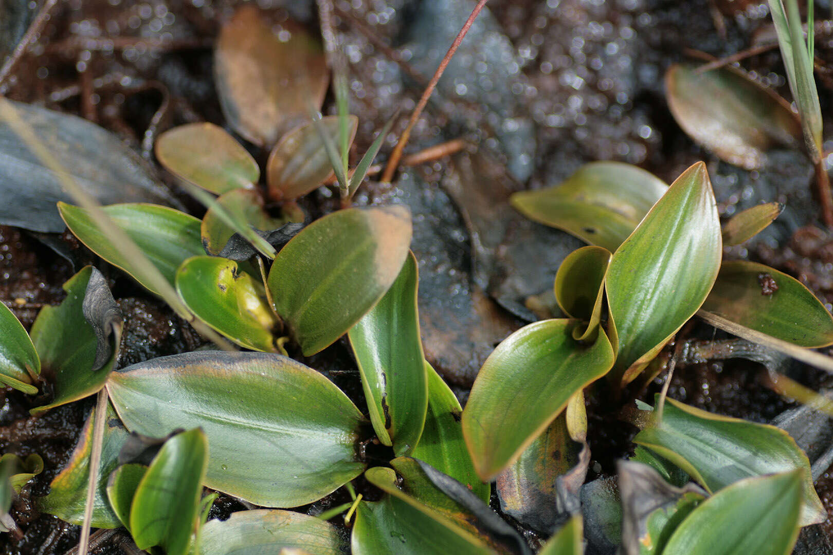
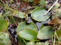
Longitude (deg): -0.6. Latitude (deg): 54.3. Longitude (deg/min): 0° 40' W. Latitude (deg/min): 54° 20' N. Vice county name: North-east Yorks. Vice county no.: 62. Country: England. Stage: Vegetative. Identified by: Malcolm Storey. Comment: in damp Sphagnum and shallow bog pools. Category: standard photograph or close-up. Photographic equipment used: Canon EOS400D dSLR with Tamron SP AF Di 90mm Macro 1:1 lens.
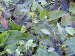
Longitude (deg): -0.6. Latitude (deg): 54.3. Longitude (deg/min): 0° 40' W. Latitude (deg/min): 54° 20' N. Vice county name: North-east Yorks. Vice county no.: 62. Country: England. Stage: Vegetative. Identified by: Malcolm Storey. Comment: in damp Sphagnum and shallow bog pools. Category: standard photograph or close-up. Photographic equipment used: Canon EOS400D dSLR with Tamron SP AF Di 90mm Macro 1:1 lens.