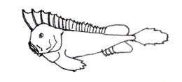
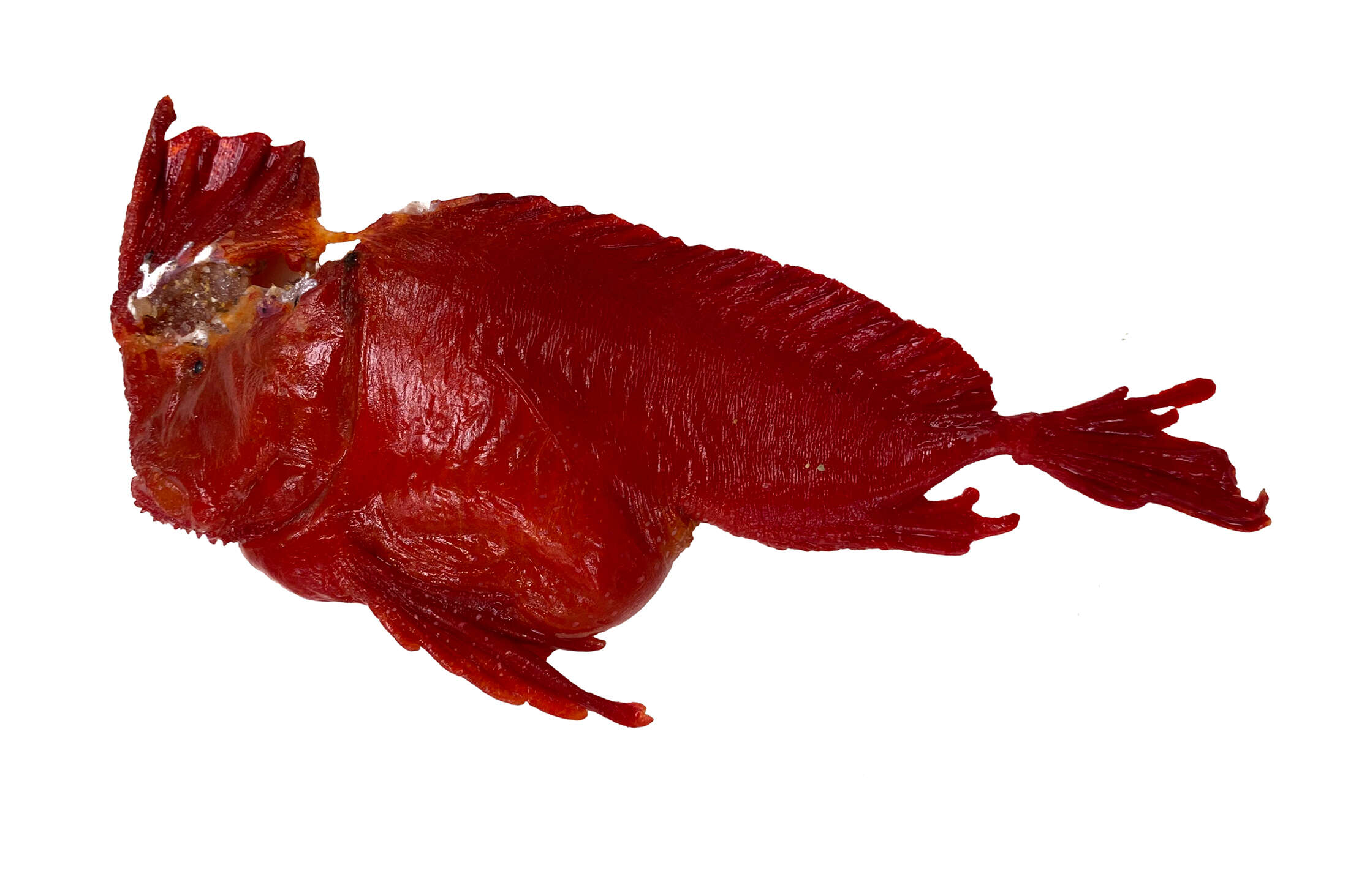
Description: English: A Whiskered Prowfish, Neopataecus waterhousii, found washed ashore at Harmers Haven, Victoria, January 2020. Date: 31 January 2020. Source: https://fishesofaustralia.net.au/home/species/2173. Author: Dianne J. Bray.
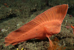
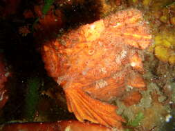
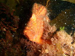
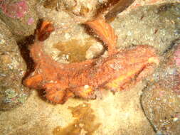
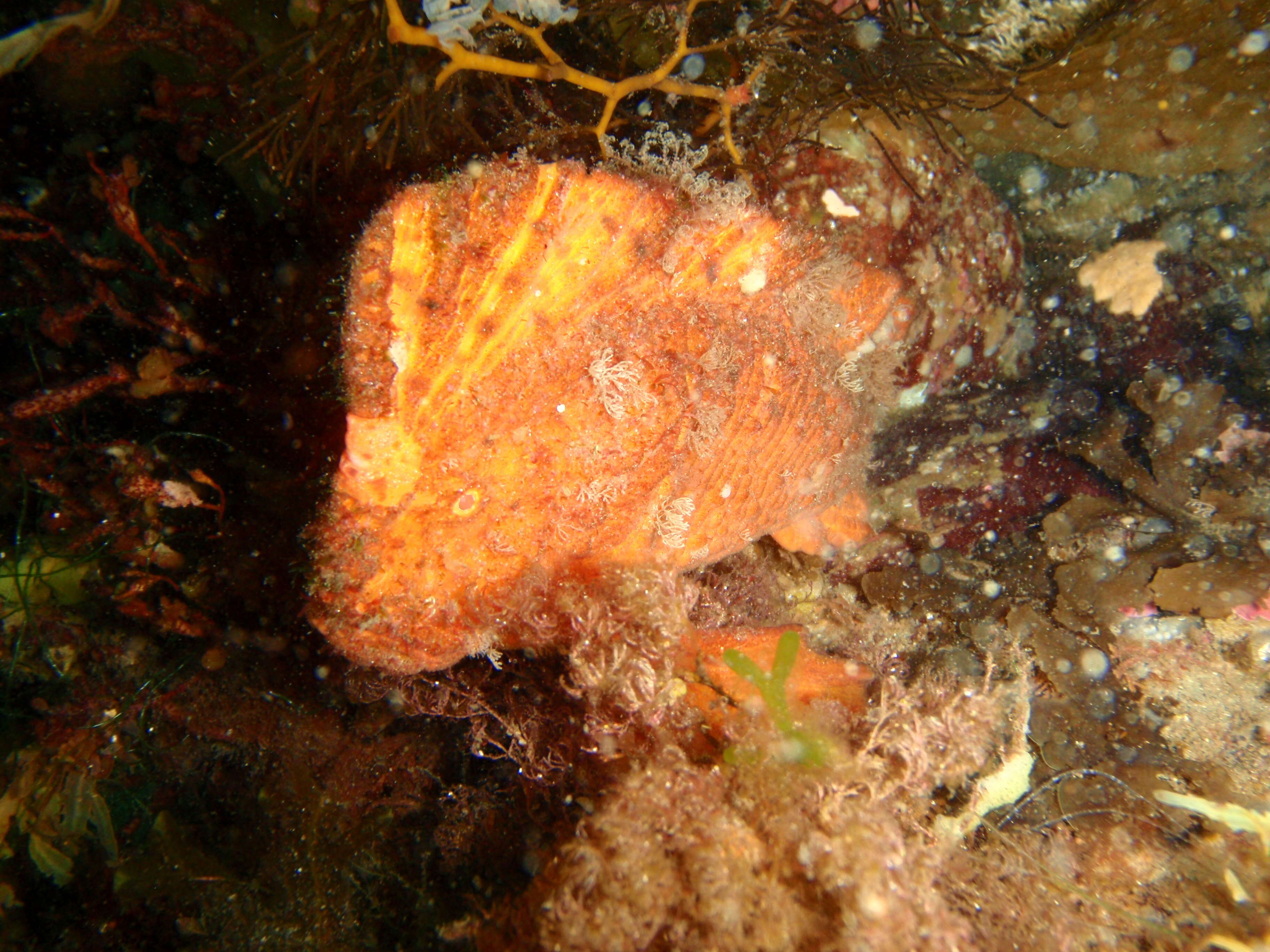
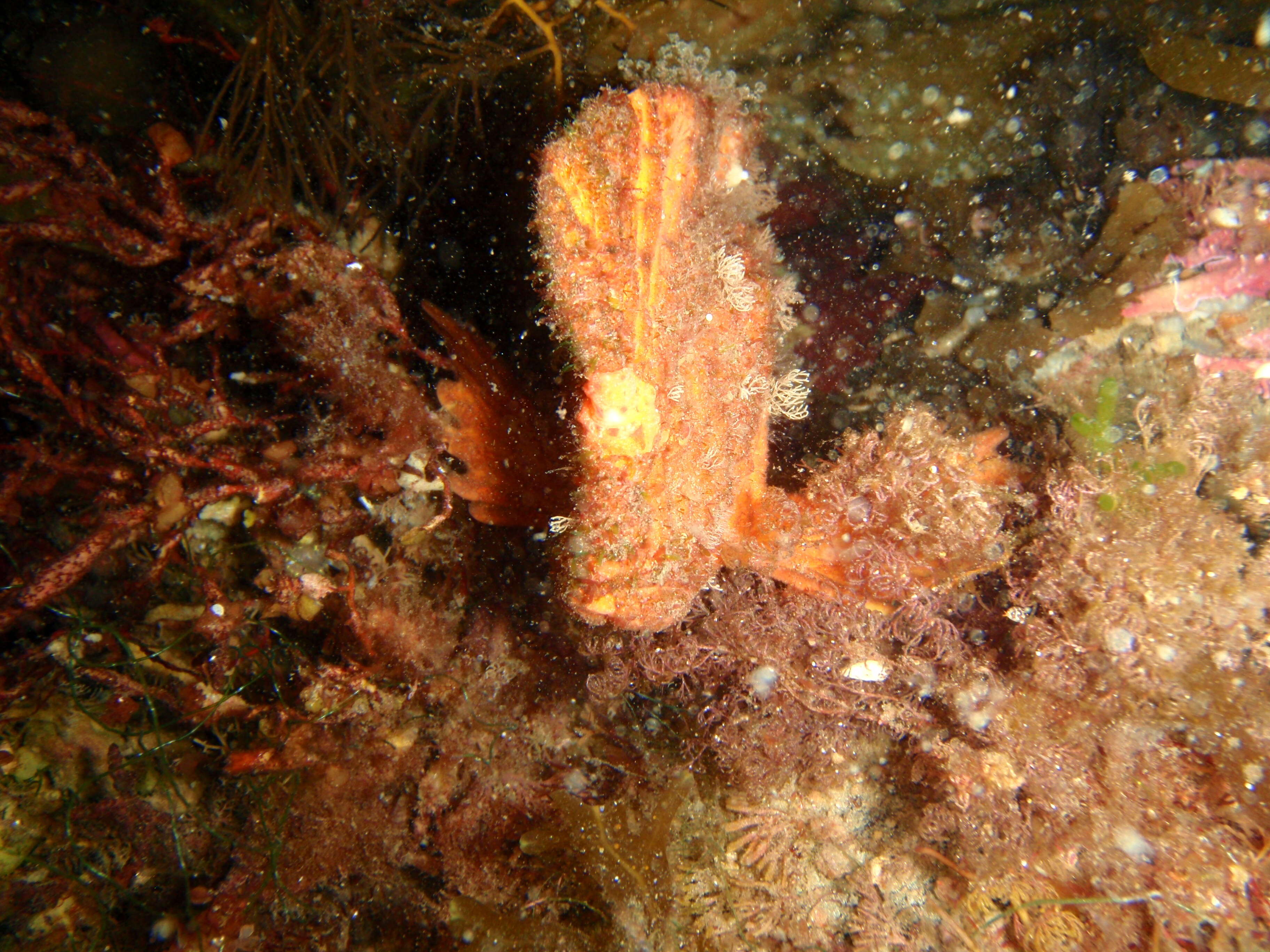
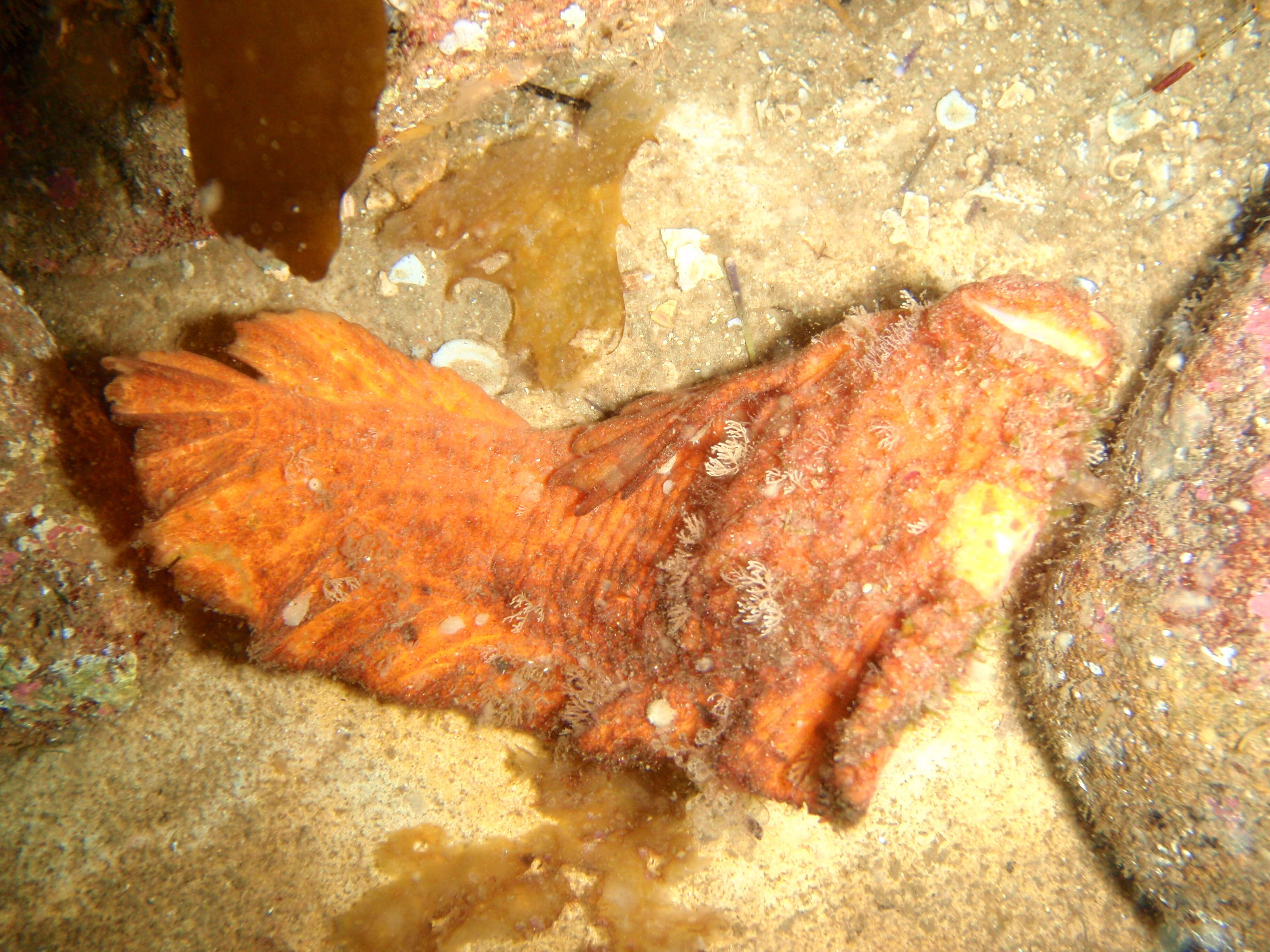
Description: English: Warty prowfish Aetapcus maculatus at Four Mile Reef, Maria Island, Tasmania. Date: 15 February 2014, 18:11:30. Source: Own work. Author: Peter Southwood. Camera location 42° 36′ 09″ S, 148° 02′ 46.61″ E: View all coordinates using: OpenStreetMap - Google Earth: -42.602500; 148.046280.
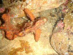
Description: English: Warty prowfish Aetapcus maculatus at Four Mile Reef, Maria Island, Tasmania. Date: 15 February 2014, 18:07:21. Source: Own work. Author: Peter Southwood. Camera location 42° 36′ 09″ S, 148° 02′ 46.61″ E: View all coordinates using: OpenStreetMap - Google Earth: -42.602500; 148.046280.
Description: English: Warty prowfish Aetapcus maculatus at Four Mile Reef, Maria Island, Tasmania. Date: 15 February 2014, 18:07:46. Source: Own work. Author: Peter Southwood. Camera location 42° 36′ 09″ S, 148° 02′ 46.61″ E: View all coordinates using: OpenStreetMap - Google Earth: -42.602500; 148.046280.
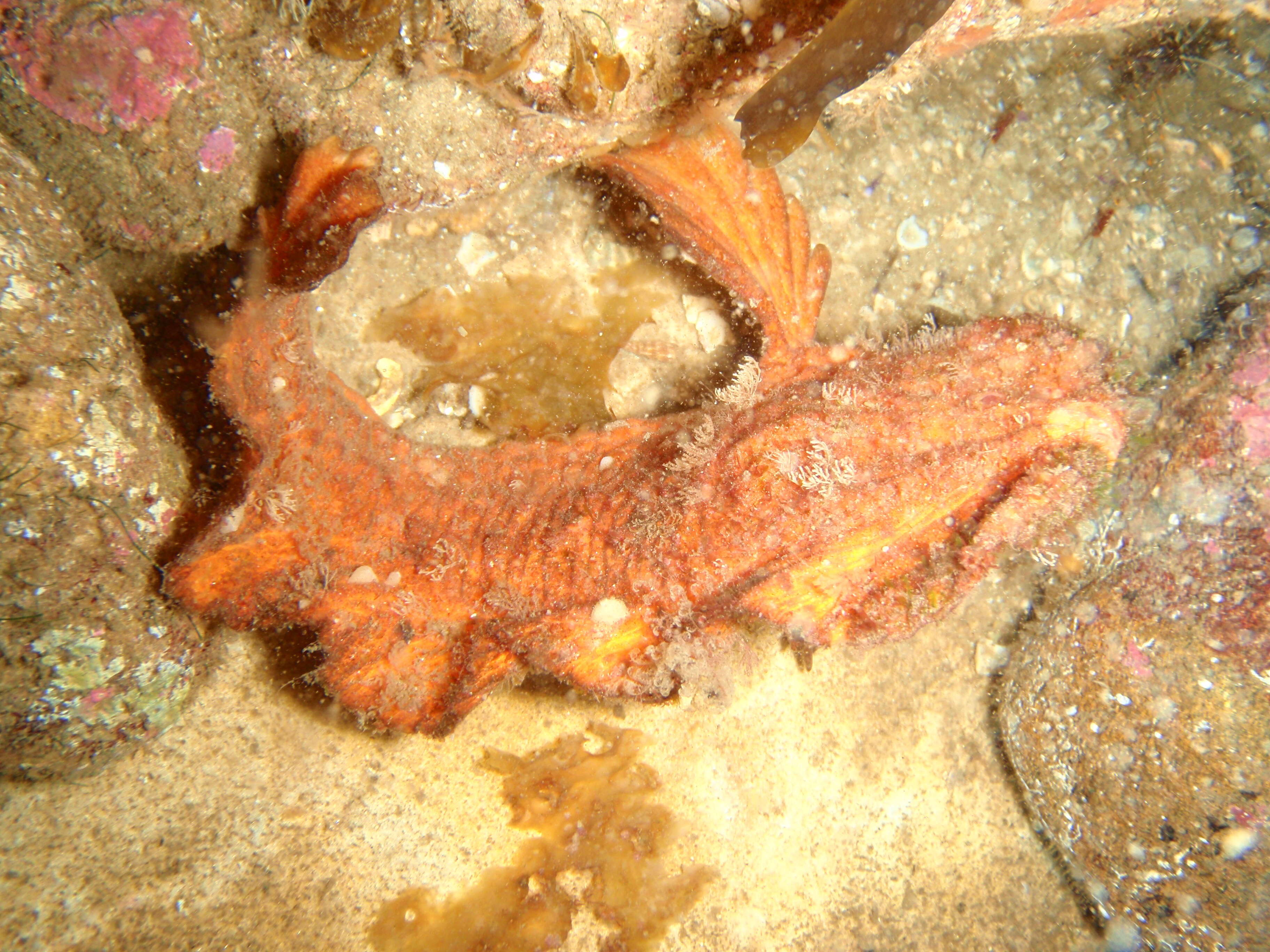
Description: English: Warty prowfish Aetapcus maculatus at Four Mile Reef, Maria Island, Tasmania. Date: 15 February 2014, 18:09:50. Source: Own work. Author: Peter Southwood. Camera location 42° 36′ 09″ S, 148° 02′ 46.61″ E: View all coordinates using: OpenStreetMap - Google Earth: -42.602500; 148.046280.
Description: English: Warty prowfish Aetapcus maculatus at Four Mile Reef, Maria Island, Tasmania. Date: 15 February 2014, 18:09:43. Source: Own work. Author: Peter Southwood. Camera location 42° 36′ 09″ S, 148° 02′ 46.61″ E: View all coordinates using: OpenStreetMap - Google Earth: -42.602500; 148.046280.
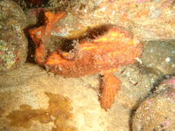
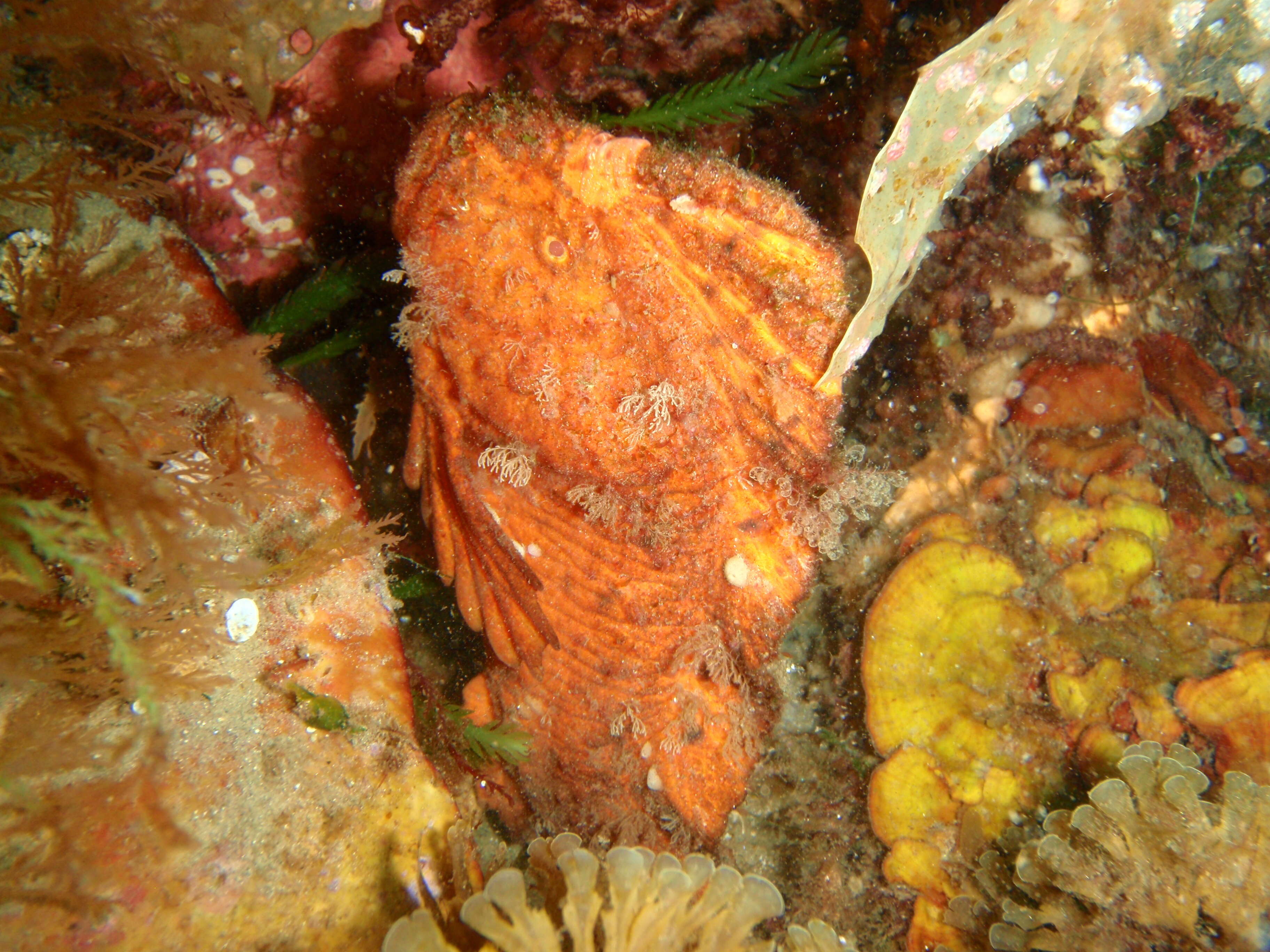
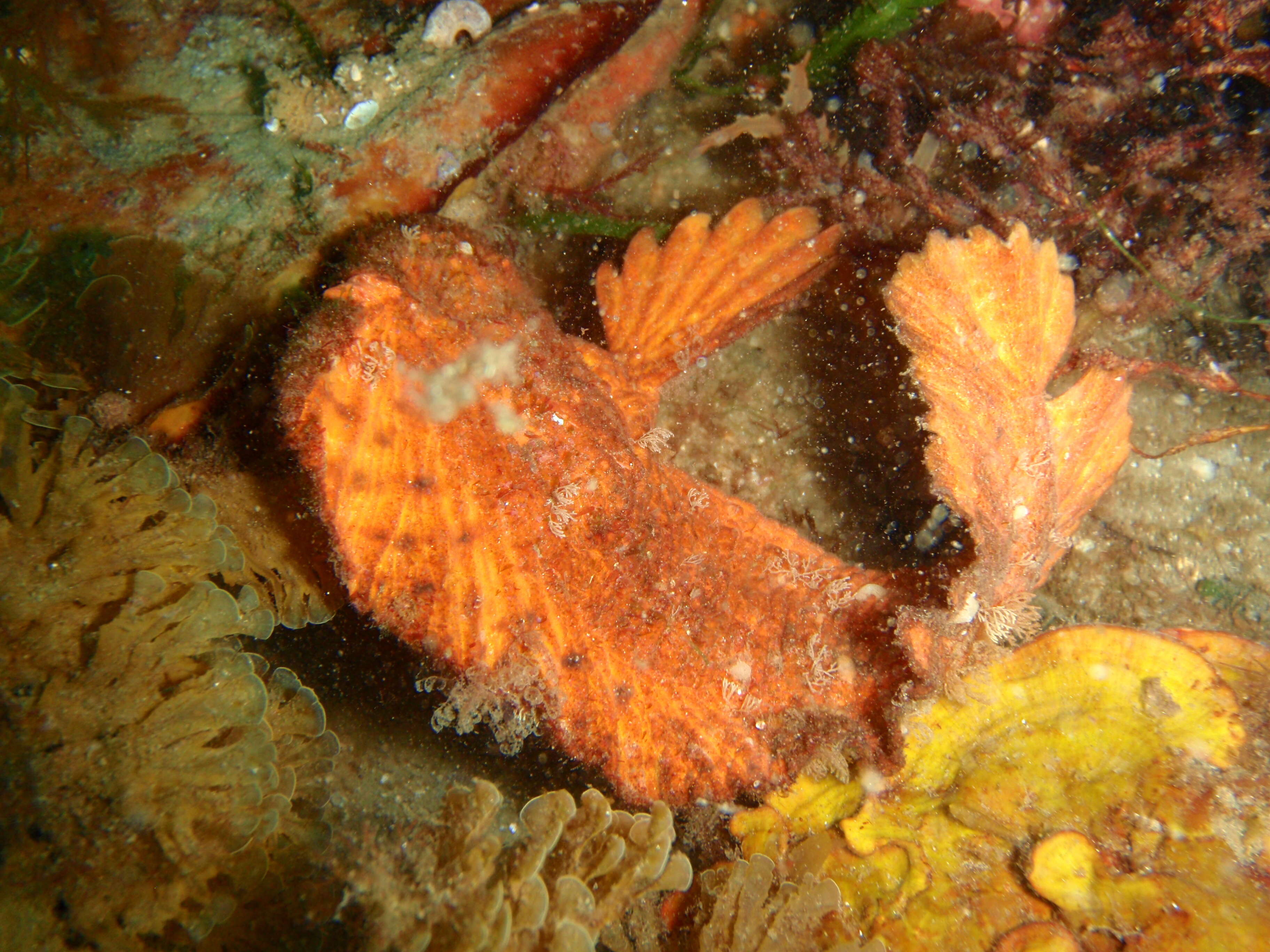
Description: English: Warty prowfish Aetapcus maculatus at Four Mile Reef, Maria Island, Tasmania. Date: 15 February 2014, 18:08:03. Source: Own work. Author: Peter Southwood. Camera location 42° 36′ 09″ S, 148° 02′ 46.61″ E: View all coordinates using: OpenStreetMap - Google Earth: -42.602500; 148.046280.
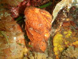
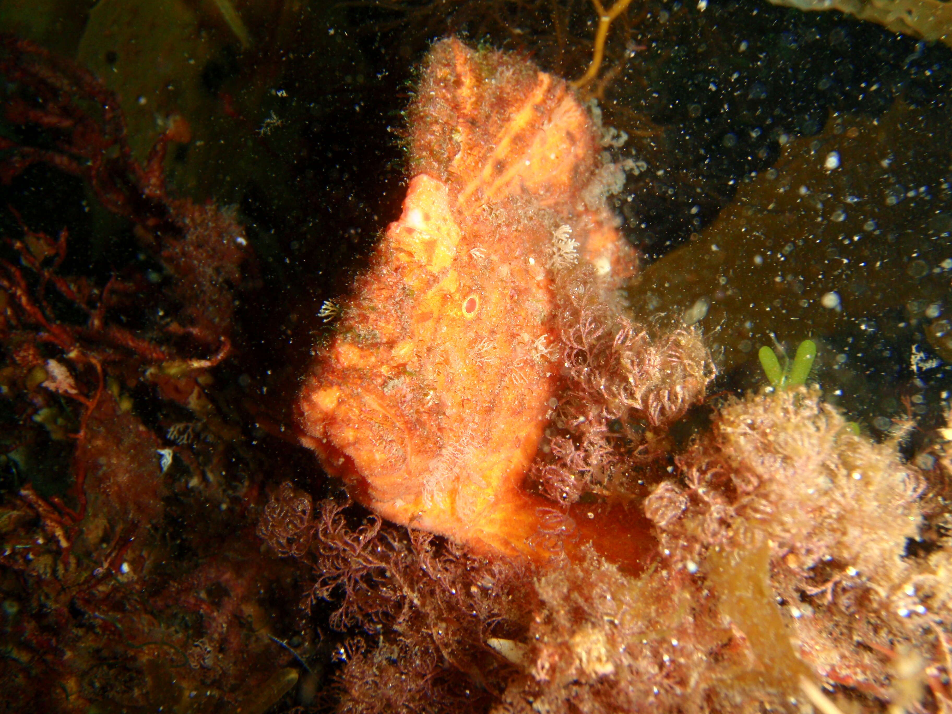
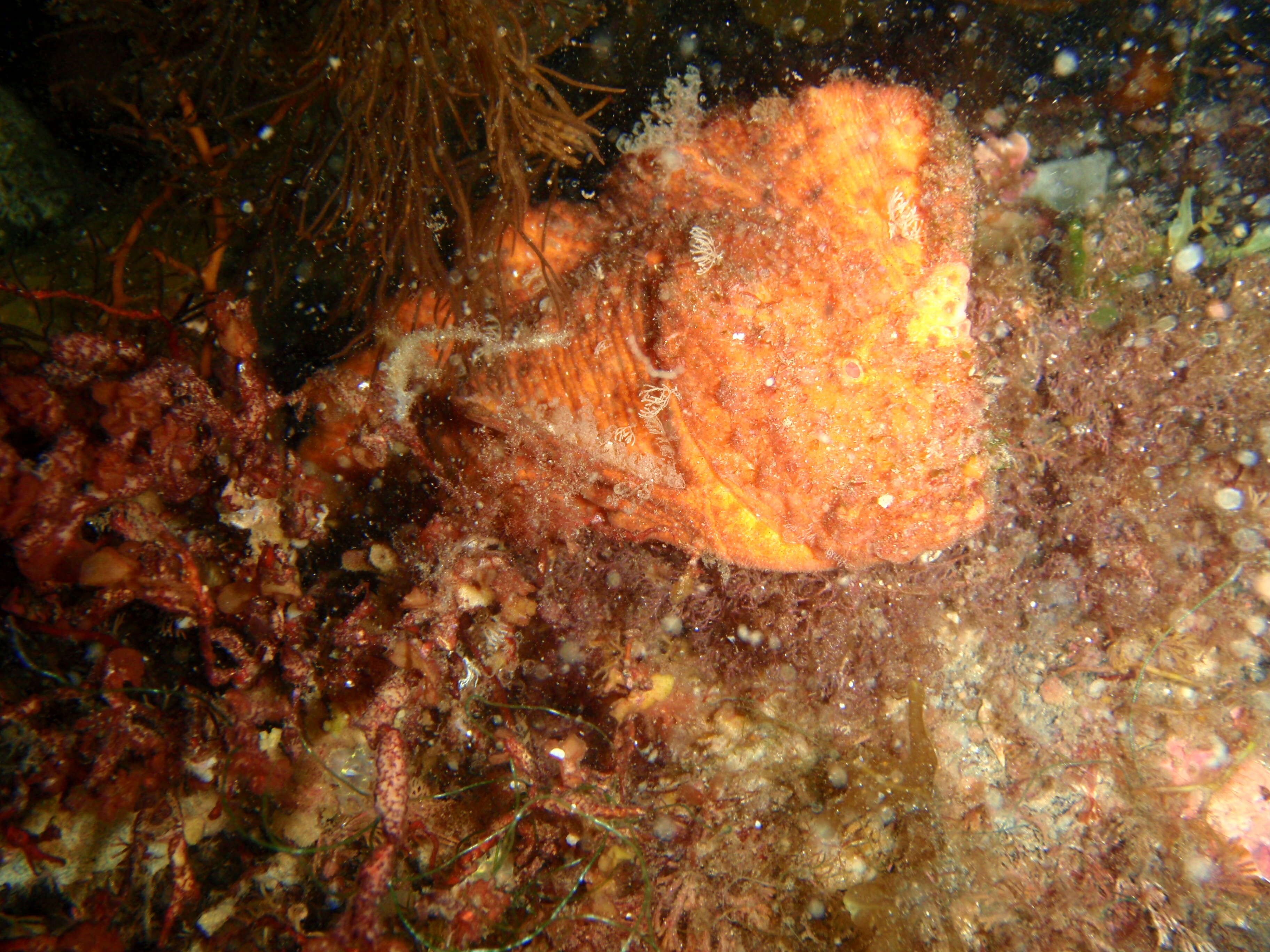
Description: English: Warty prowfish Aetapcus maculatus at Four Mile Reef, Maria Island, Tasmania. Date: 15 February 2014, 18:10:41. Source: Own work. Author: Peter Southwood. Camera location 42° 36′ 09″ S, 148° 02′ 46.61″ E: View all coordinates using: OpenStreetMap - Google Earth: -42.602500; 148.046280.
Description: English: Warty prowfish Aetapcus maculatus at Four Mile Reef, Maria Island, Tasmania. Date: 15 February 2014, 18:10:00. Source: Own work. Author: Peter Southwood. Camera location 42° 36′ 09″ S, 148° 02′ 46.61″ E: View all coordinates using: OpenStreetMap - Google Earth: -42.602500; 148.046280.
Description: English: Warty prowfish Aetapcus maculatus at Four Mile Reef, Maria Island, Tasmania. Date: 15 February 2014, 18:07:32. Source: Own work. Author: Peter Southwood. Camera location 42° 36′ 09″ S, 148° 02′ 46.61″ E: View all coordinates using: OpenStreetMap - Google Earth: -42.602500; 148.046280.
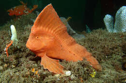
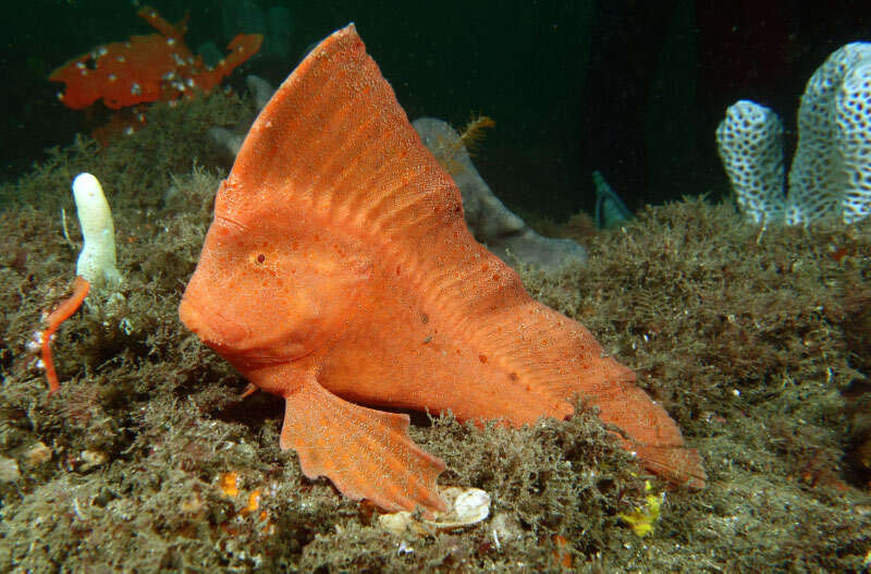
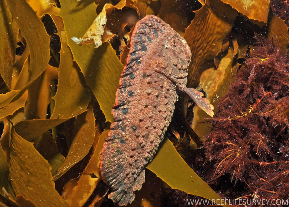
Description: English: A Warty Prowfish, Aetapcus maculatus, at Popes Eye, Port Phillip, Victoria. Date: 31 December 2021. Source: https://fishesofaustralia.net.au/home/species/2172. Author: Rick Stuart-Smith / Reef Life Survey.
Description: English: Warty prowfish Aetapcus maculatus at Four Mile Reef, Maria Island, Tasmania. Date: 15 February 2014, 18:10:24. Source: Own work. Author: Peter Southwood. Camera location 42° 36′ 09″ S, 148° 02′ 46.61″ E: View all coordinates using: OpenStreetMap - Google Earth: -42.602500; 148.046280.
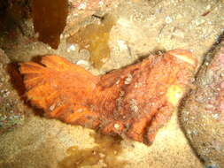
Description: English: Warty prowfish Aetapcus maculatus at Four Mile Reef, Maria Island, Tasmania. Date: 15 February 2014, 18:09:36. Source: Own work. Author: Peter Southwood. Camera location 42° 36′ 09″ S, 148° 02′ 46.61″ E: View all coordinates using: OpenStreetMap - Google Earth: -42.602500; 148.046280.