-
2005 The Regents of the University of California
CalPhotos
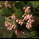
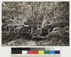
Sandhills between Los Berros and Oceano. Shows detail of base of stems of some individual Arctostaphylos rudis shown in No. 329763 Quad name: Arroyo Grande. Quad number: 132D. Reference to map: 5.
-
2005 The Regents of the University of California
CalPhotos
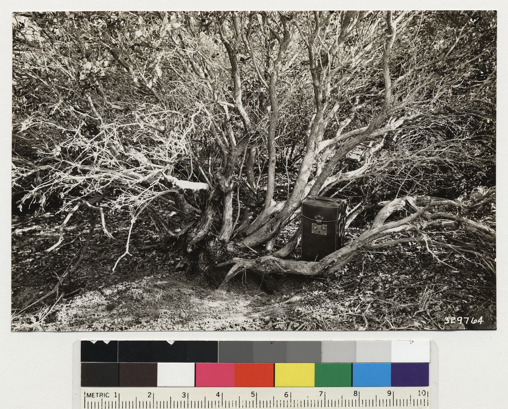
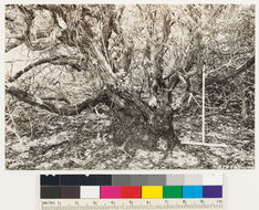
Lompoc mesa. Arctostaphylos rudis, showing rough bark and burl at base of stem. Note size as indicated by 2' rule. Quad name: Lompoc. Quad number: 157.
-
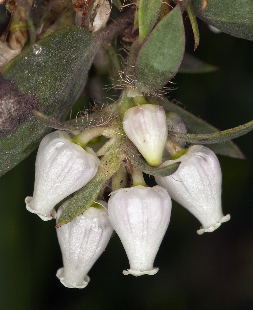
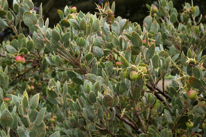
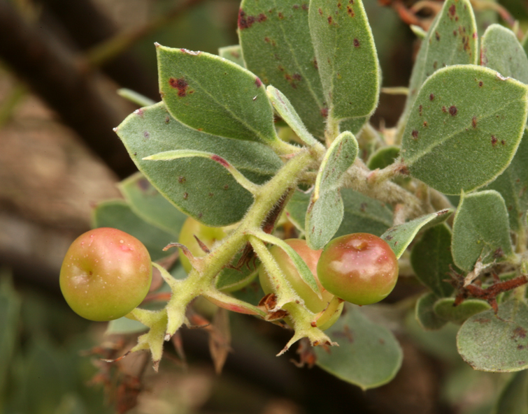
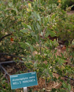
A. wellsii is treated as a synonym of A. pilosula in The Jepson Manual, but this shrub, which was more than 3 meters tall, would fit A. wellsii if the taxon is recognized.
-
-
-
-
-
-
-
2005 The Regents of the University of California
CalPhotos
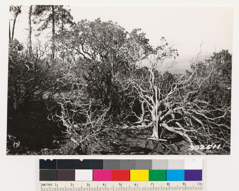
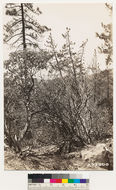
La Panza Range. Top of ridge. Shows Arctostaphylos pilosula in association with Coulter pine. Shows skeletons of fire killed individuals. This manzanita does not regenerate by sprouting., T 30 S R 16 E Sec 10, Elevation 3200 Quad name: La Panza. Quad number: 133A. Reference to map: 10.
-
2005 The Regents of the University of California
CalPhotos
Views of the Arctostaphylos pilosula that is associated with the Coulter pine in the locality shown. This is a species that does not sprout following fire., T 30 S R 16 E Sec 10 Quad name: La Panza. Quad number: 133A. Reference to map: 7.
-
2005 The Regents of the University of California
CalPhotos
Views of the Arctostaphylos pilosula that is associated with the Coulter pine in the locality shown. This is a species that does not sprout following fire., T 30 S R 16 E Sec 10 Quad name: La Panza. Quad number: 133A. Reference to map: 7.
-
2005 The Regents of the University of California
CalPhotos
Views of the Arctostaphylos pilosula that is associated with the Coulter pine in the locality shown. This is a species that does not sprout following fire., T 30 S R 16 E Sec 10 Quad name: La Panza. Quad number: 133A. Reference to map: 7.
-
2005 The Regents of the University of California
CalPhotos
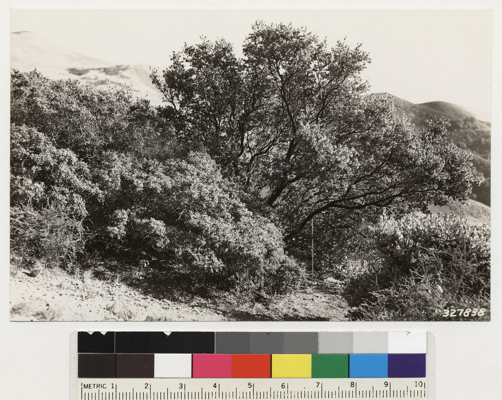
One half mile southwest of Reeds. Shows Arctostaphylos pilosula. Although this individual branches close to the ground surface, it does not form a burl at the junction of the stem and root., T 32 S R 13 E Sec 5 Quad name: Arroyo Grande. Quad number: 132D. Reference to map: 1.
-
source county is a conjecture, the vast majority of herbarium specimens are from San Luis Obispo County
-
source county is a conjecture, the vast majority of herbarium specimens are from San Luis Obispo County
-
Manzanita Mug Shot No. 66 Santa Lucia Mtns., Monterey County my #21624
-
Manzanita Mug Shot No. 66 Santa Lucia Mtns., Monterey County my #21624
-
-
2005 The Regents of the University of California
CalPhotos
One mile NW of Burnett peak. Stand of Sargent cypress, 10" D.B.H. , 35 feet high. Associated with Arctostaphylos sp. (serpentine), Quercus durata, Heteromelesarbutifolia (=Photinia arbutifolia) and Garrya. (Arctostaphylos =A. obispoensis), T 25 S R 7 E Sec 13 Quad name: Bryson. Quad number: 131A. Reference to map: 4.
-
2005 The Regents of the University of California
CalPhotos
Shows Arctostaphylos obispoensis (serpentina) in association with Quercus durata, Salvia mellifera. Note height as indicated by 3' rule., T 29 S R 11 E Sec 3 Quad name: Cayucos. Quad number: 132B. Reference to map: 4.
-
2005 The Regents of the University of California
CalPhotos
North slope Lucia Range looking northwest at formation of Cypress, Coulter pine with occasional California laurel. Chaparral:Quercus durata, Pickeringia montana, Arctostaphylos obispoensis, Dendromecon rigida, Ceanothus dentatus, Ceanothus cuneatus var. Serpentine formation., T 29 S R 12 E Sec 27 Quad name: San Luis Obispo. Quad number: 132A. Reference to map: 5.
-
2005 The Regents of the University of California
CalPhotos
Santa Lucia Range. Shows closeup of Cypress stand. Note Arctostaphylos obispoensis ( serpentine variety). Height indicated by 3' rule., T 29 S R 12 E Sec 35 Quad name: San Luis Obispo. Quad number: 132A. Reference to map: 11.
-
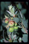
2010 California Academy of Sciences
CalPhotos