Toxicodendron vernix range
Description:
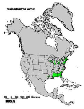
Description: Range map of Toxicodendron vernix. Elbert L. Little, Jr. 1999. Digital representation of "Atlas of United States Trees" U.S. Geological Survey. [1]. Date: 1999. Source: Digital representation of "Atlas of United States Trees" by Elbert L. Little, Jr. 1999. U.S. Geological Survey. [2]. Author: Elbert L. Little, Jr. / U.S. Geological Survey.
Included On The Following Pages:
- Life (creatures)
- Cellular (cellular organisms)
- Eukaryota (eukaryotes)
- Archaeplastida (plants)
- Chloroplastida (green plants)
- Streptophyta
- Embryophytes
- Tracheophyta (ferns)
- Spermatophytes (seed plants)
- Angiosperms (Dicotyledons)
- Eudicots
- Superrosids
- Rosids
- Sapindales
- Anacardiaceae (cashew family)
- Toxicodendron (poison oak)
- Toxicodendron vernix (poison sumac)
This image is not featured in any collections.
Source Information
- license
- cc-publicdomain
- creator
- Elbert L. Little, Jr. / U.S. Geological Survey
- source
- Digital representation of "Atlas of United States Trees" by Elbert L. Little, Jr. 1999. U.S. Geological Survey. [1]
- original
- original media file
- visit source
- partner site
- Wikimedia Commons
- ID